Stoos route


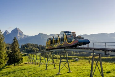
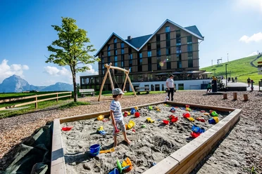
The route starts at the mountain station of the funicular Schwyz-Stoos. The Stoos route is also well suited for less experienced riders. Stoos offers a varied culinary selection and other leisure opportunities, which can be perfectly combined with the Stoos route.
- 1:35 h
- 10.27 km
- 500 m
- 500 m
- 1,303 m
- 1,653 m
- 350 m
- Start: Stoos, mountain station funicular
- Destination: Stoos, mountain station funicular
Waypoints
Good to know
Pavements
Best to visit
Directions
Mountain station funicular Schwyz-Stoos - Sternegg - valley station chairlift Klingenstock - Brunnerboden - Rinderchruteren - Loch - Chruteren - Metzg - Firrenboden - Unterbäch - Holibrig - Stoos
Tour information
Loop Road
Mountain Railway Tour
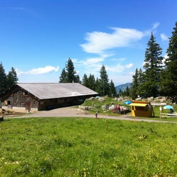
Stop at an Inn
Equipment
Rain jacket, drink & catering.
Directions & Parking facilities
By car on the A4 to the Schwyz exit, then towards Muotathal to the valley station of the large funicular Schwyz-Stoos or turn onto Morschacherstrasse (at Wolfsprung), then follow the signs to Morschach and continue to the valley station of the small aerial cableway Morschach-Stoos.
Parking is available at the valley station of the funicular Schwyz-Stoos and the aerial cableway Morschach-Stoos.
By train to Schwyz-Seewen station, then by bus to the valley station of the large funicular Schwyz-Stoos (line 501 Schwyz - Muotathal) or by train to SBB Brunnen station, then by bus to the valley station of the small aerial cableway Morschach-Stoos.
Additional information
Switzerland Mobility Route 802: https://schweizmobil.ch/de/mountainbikeland/route-802
Author
Stoos-Muotatal Tourismus / Schwyzer Wanderwege
Organization
Bikegenoss Zentralschweiz
Author´s Tip / Recommendation of the author
Safety guidelines
Map
At the stations of the Stoos railways, the free brochure "Stoos experience map" is available, in which the route is marked.

Nearby


Download GPX file