Summit loop trail Sattel-Hochstuckli


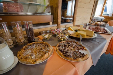
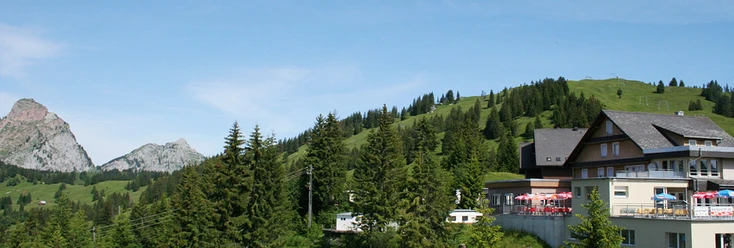
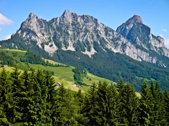
The path through the varied pre-Alpine landscape leads hikers from the Mostelberg mountain station to the local mountain of Sattel-Hochstuckli. The circular hike begins after a ride on the world's first revolving gondola from Sattel to Mostelberg. From the mountain station, the path leads left past the summer toboggan run and the suspension bridge towards the Berggasthaus Herrenboden. Shortly before the Herrenboden restaurant and the crossing of the stream, the path turns left before it goes right through the forest towards the SAC clubhouse Bärenfang and Bannegg. Still ascending, the path leads to the Hochstuckli with spectacular views of the Mythen and the Central Swiss pre-Alps. The return route passes via Stucklialp and Mostelegg past the Berggasthaus Herrenboden and back to the Mostelberg mountain station. After the strenuous hike, the mountain inns are ready to indulge hungry and thirsty athletes with culinary delights.
- 2:20 h
- 6.86 km
- 488 m
- 488 m
- 1,148 m
- 1,557 m
- 409 m
- Start: Mostelberg mountain station
- Destination: Mostelberg mountain station
Good to know
Pavements
Best to visit
Tour information
Loop Road
Summit
Equipment
Hiking shoes with good tread, trekking shoes, rain jacket, drink, provisions
Directions & Parking facilities
From Zurich via Zurich-Chur motorway, Schindellegi exit, direction Schwyz (approx. 40 min)
From Zug via Ägerital (approx. 20 min)
From Lucerne via Zug-Schwyz motorway, Schwyz exit, direction Pfäffikon-Sattel (approx. 40 min.)
Paid parking spaces at the valley station.
By SOB to Sattel or with Auto AG Schwyz from Schwyz with line 7 to Sattel valley station of the gondola lift. Alternatively, Zugerland Transport Services (line 23) from Arth-Goldau to Sattel. From Ägeri with bus 9 from Oberägeri
Author
Schwyzer Wanderwege
Organization
Schwyzer Wanderwege
Nearby


Download GPX file