Time travel themed trail - step by step through the history of the Rigi

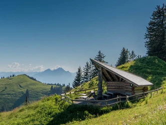
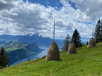
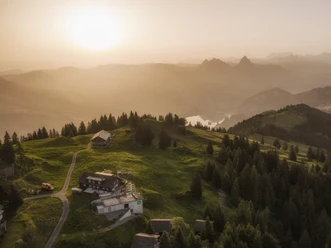
This effortless high-altitude hike offers you magnificent views over the Swiss Plateau extending to the Black Forest and the Vosges. On your hike, you will cross both the Lucerne and Schwyz borders.
- 1:30 h
- 5.20 km
- 10 m
- 439 m
- 1,311 m
- 1,749 m
- 438 m
- Start: Rigi Kulm
- Destination: Rigi Klösterli
Good to know
Pavements
- Asphalt (72%)Gravel (13%)Trail (4%)Path (11%)
Best to visit
- suitableDepends on weather
Directions
- Rigi Kulm (1748 m) – Rigi Staffel (1604 m) – Staffelhöhe (1565 m) – Rigi Kaltbad (1436 m) – Rigi Klösterli (1373 m)
Tour information
Culturally interesting
Refreshment stop
Directions & Parking facilities
- Getting there
Exit Goldau A4 and continue to the Arth-Goldau station of RIGI BAHNEN AG.
Information about arrival and parking can be found here.
ParkingPaid parking spaces are available at the Rigi railway stations.
However, we recommend public transport instead of a car: sit back, enjoy, and do something good for the environment at the same time.
Public transportationThe journey is conveniently made by cogwheel train from Arth-Goldau or Vitznau. Author
Gäste-Service Rigi
Organization
Rigi
Author´s Tip / Recommendation of the author
- The cordon bleus from the restaurant Lok 7 on Rigi Staffel are an absolute classic.
Safety guidelines
You can find the current operating status of the trains and hiking trails here.
So that future generations can also enjoy the Queen of the Mountains, please dispose of your waste at the stations of the Rigi railways. Thank you.