Urner Haute Route


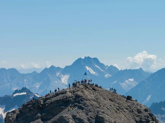
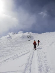
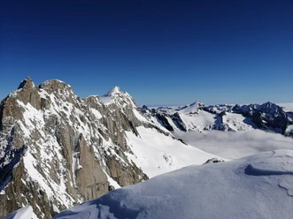
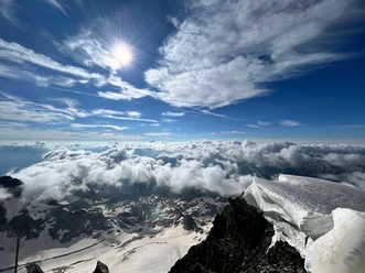
The Urner Haute Route is a 5-day ski crossing from Realp to Engelberg, connecting the cantons of Uri, Bern, and Obwalden. It passes through diverse alpine landscapes with glaciers, wide slopes, and spectacular viewpoints. The Urner Haute Route is also called the "Skiers Haute Route" because it offers a particularly high number of vertical meters on snow-sure northern slopes.
The first stage starts in Realp and ends at the Albert-Heim Hut. Day two leads over Winterlücke and Lochberg down to the Gwüest guesthouse, including breathtaking powder descents to the Göscheneralpsee. On the third day, you reach the highest point of the tour at Sustenhorn (3,502 m) before continuing over the Steingletscher to the Susten Pass. Stage four first passes the Fünffingerstöcken and climbs to Uratstock. Overnight accommodation is at the Sustlihütte, which lies high above the Meiental. The final stage goes via Grassen to Engelberg, where the tour ends at Herrenrüti.
The route offers wonderfully authentic overnight stays in rustic mountain huts, so you can tackle the next stage strengthened and well rested.
- 13:45 h
- 44.93 km
- 6,731 m
- 7,133 m
- 1,135 m
- 3,494 m
- 2,359 m
- Start: Realp
- Destination: Engelberg Herrenrüti
Good to know
Best to visit
Tour information
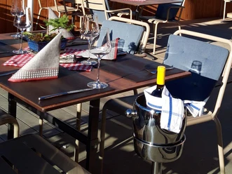
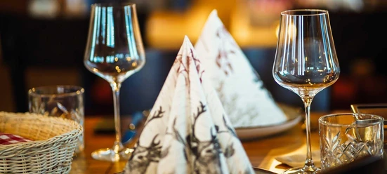
Stop at an Inn
Equipment
- Ski touring equipment
- Warm clothing
- Helmet
- Food supply
- Avalanche equipment
- Offline map, GPS
Directions & Parking facilities
Author
Andermatt-Urserntal Tourismus GmbH
Organization
Région de vacances Andermatt
Author´s Tip / Recommendation of the author
Safety guidelines
Nearby

