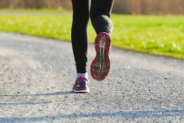
Wichelsee round


The start of this jogging route is at Alpnach Dorf station. Along the road, the route leads across the airfield, where the path follows the Große Schliere. Through winding forest trails and past the hydroelectric power plant, the Wichelsee with its impressive rocks soon comes into view. Many different animal and plant species live in the Wichelsee nature reserve. Soon the southernmost point at Kernmatt is reached. The river is crossed and it goes back to Alpnach. After a short stretch along the Aa, the route passes farms until almost reaching the village of Kägiswil. From there it goes back down to the Wichelsee, where a short section is run twice. After the campfire site, the route leads on the other side of the highway towards the airfield, from where the station is not far away.
- 1:30 h
- 11.02 km
- 47 m
- 47 m
- 439 m
- 477 m
- 38 m
- Start: Alpnach Dorf station
- Destination: Alpnach Dorf station
Good to know
Best to visit
Tour information
Loop Road
Directions & Parking facilities
Author
Obwalden Tourismus
Organization
Obwalden Tourismus
Nearby
Download GPX file