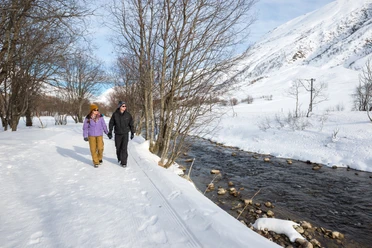
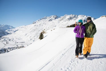
Winter hiking route 513: Andermatt - Nätschen


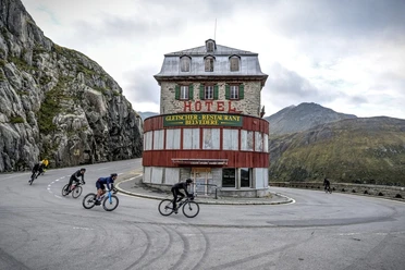
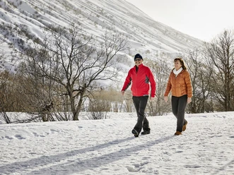
Andermatt in the Ursern Valley, one of the most impressive high valleys in Switzerland, forms the crossing point of pass routes from north to south and west to east. Nätschen is considered the sunny slope of Andermatt. The winter hiking route leads up there along the closed Oberalp Pass road, where skiers and sledders can also be encountered.
The path is nowhere steep but gently ascends following numerous curves.
Once you arrive at Nätschen, the restaurants offer the chance to soak up the sun with a view of the high alpine area up to the Furka Pass.
- 1:47 h
- 5.87 km
- 402 m
- 1,436 m
- 1,838 m
- 402 m
- Start: Andermatt station
- Destination: Nätschen station
Good to know
Pavements
Unknown (6%)
Street (94%)
Best to visit
suitable
Depends on weather
Directions
Andermatt station - Andermatt village - Mettlen - Obergadmen - Nätschen
Equipment
Good footwear!
Directions & Parking facilities
Getting there
By car, drive on the motorway towards Gotthard. At Göschenen leave the motorway and reach Andermatt in ten minutes via the Schöllenen Gorge.
Parking
At the roundabout before the village, you can turn right into a car park.
Public transportation
Take the SBB to Göschenen and from there take the Gotthard-Matterhorn railway to Andermatt in ten minutes
Author
Markus Fehlmann
Organization
Verein Urner Wanderwege
Author´s Tip / Recommendation of the author
You can
Safety guidelines
Watch out for oncoming sledders!
Map
Nearby
