Zigzag Path (Haldigrat)

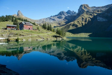
The small village of Oberrickenbach is located in an idyllic side valley. The hike leads from the valley floor up to the rugged but scenic ridge path through various vegetation zones and a diverse animal and plant world. The first 750 meters of elevation are covered on the hiking trail before ascending very entertainingly in countless switchbacks to the Haldigrat.
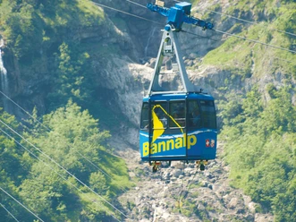
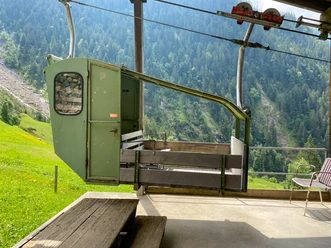
To save some meters of ascent you can take the aerial cableway Fell-Spis-Sinsgäu (time saving 2h). The descent also features a real highlight with the Haldigrat chairlift. And at the end, the last few meters of elevation can be managed with the Dallenwil-Niederrickenbach aerial cableway.
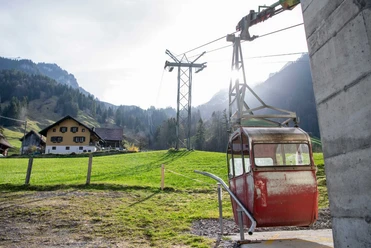
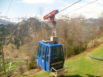
Small cable cars on this route:
- Fell-Spis-Sinsgäu
- Haldigrat chairlift
- 4:30 h
- 8.13 km
- 1,286 m
- 246 m
- 898 m
- 2,184 m
- 1,286 m
- Start: Oberrickenbach
- Destination: Haldigrat
Good to know
Pavements
- Asphalt (2%)Trail (32%)Path (66%)
Best to visit
- suitableDepends on weather
Author
Engelberg - Titlis Tourismus
Organization
Engelberg-Titlis Tourismus
Author´s Tip / Recommendation of the author
- Take the small cable car Fell-Spis-Sinsgäu for the ascent (time saving 2h)