Aaschlucht e-bike route


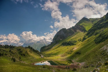
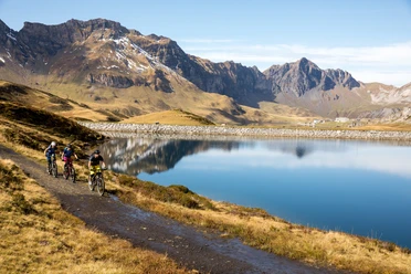
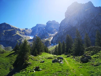
The start is at the Grafenort manor house right next to the Grafenort train station. Initially, the gravel road is still flat before the path becomes a rather wide hiking trail leading to Obermatt. After passing the small Obermatt reservoir, there is a steeper climb up to Engelberg. The route is very suitable as an alternative to the main road and mostly leads through the forest.
- 1:35 h
- 8.89 km
- 467 m
- 36 m
- 567 m
- 1,027 m
- 460 m
- Start: Grafenort train station
- Destination: Engelberg train station
Waypoints
Good to know
Best to visit
- suitableDepends on weather
Directions
- Grafenort-Obermatt-Oertigen-Engelberg
Equipment
The bikeshops in Engelberg offer a wide range of bikes and accessories for rent and purchase. It's also worth a visit for repairs and spare parts.
Directions & Parking facilities
- Getting thereBy car, take the A2 (Basel-Gotthard) to Stans South, then follow the main road 20 km to Engelberg. Engelberg is 30 minutes from Lucerne, 1 hour and 15 minutes from Basel, Zurich, or Bern.ParkingParking is available in Engelberg and Grafenort for a fee.Public transportationNational and international connections (from Zurich Airport, departures every half hour with about 1 hour travel time) to Lucerne. Then with the Zentralbahn in 43 minutes through a varied landscape and gorges up to Engelberg.
Additional information
Author
Engelberg - Titlis Tourismus
Organization
Engelberg-Titlis Tourismus
Author´s Tip / Recommendation of the author
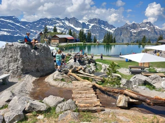
- There are several barbecue spots along the route for a rest.
Observe the ban on open fires.
Safety guidelines
- The route runs on hiking trails; please be considerate of other trail users.
The section between Aaschlucht and Schwändliloch is closed (destroyed bridge). The closure is expected to last several months. Reason: high water! Please follow the signposted detour.