About the Rigi Hochflue


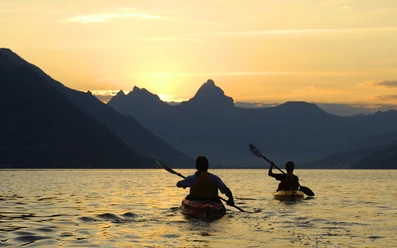
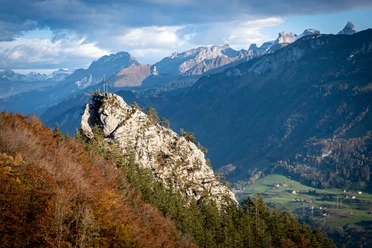
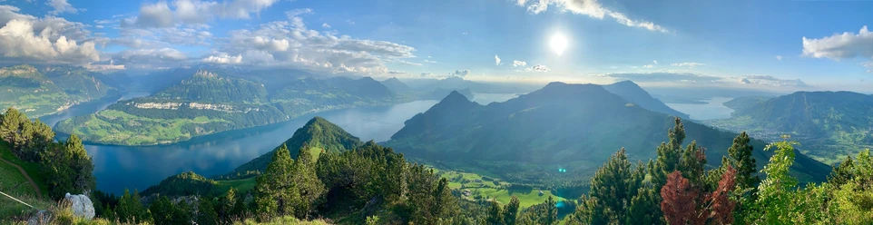
Viewed from the east, the Rigi Hochflue stands out as a magnificent pyramid, with Lake Lucerne to the left and Lake Lauerz beneath to the right. The popular east-west crossing runs for long stretches along a scenic mountain ridge. The key point is a slabby rock step below the summit ridge equipped with iron brackets and wire ropes. Among several descent options, one especially leads back over the Zilistock and Bärfallen to the valley station of the Timpel cable car in Brunnen.
- 5:00 h
- 8.52 km
- 669 m
- 1,365 m
- 437 m
- 1,698 m
- 1,261 m
- Start: Top station of the Urmiberg cable car
- Destination: Valley station of the Urmiberg cable car
Good to know
Pavements
Best to visit
Tour information
Mountain Railway Tour
Stop at an Inn
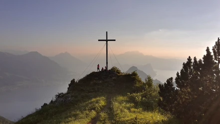
Summit
Equipment
Hiking boots with good grip or trekking shoes, rain jacket, drink, provisions, possibly poles.
Directions & Parking facilities
From the Brunnen motorway exit towards Gersau, turn right at the Brunnen station roundabout. The valley station of the Urmiberg cable car is located on the right side of the road, just outside Brunnen.
Parking spaces are directly available at the valley station of the cable car.
By bus connection B508 from Brunnen train station to the bus stop Brunnen, Urmiberg cable car.
Additional information
Detailed information can be found on the SAC tour portal (https://www.sac-cas.ch/de/huetten-und-touren/sac-tourenportal/rigi-hochflue-1496/berg-und-alpinwandern/).
Author
Xaver Büeler
Organization
Schwyz Tourismus
Author´s Tip / Recommendation of the author
If the long descent all the way down to Brunnen seems too strenuous, take the more comfortable descent via the iron ladder down to the Gätterlipass. From there, return via Gottertli to the mountain restaurant Timpel.
Safety guidelines
Children and inexperienced hikers can be secured with a rope on the tricky passages or take a via ferrata set.

Nearby

