Alpine Bike: Stage 10 Andermatt - Meiringen


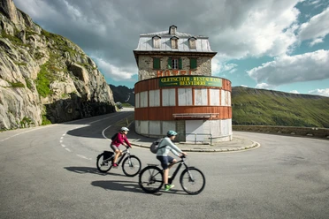
On the road through the Schöllenen Gorge to Göschenen, the bike rolls by itself. In Wassen, the climb begins via side paths into the Meien Valley. Only a small part of the route runs on the pass road up to the Susten Pass summit.
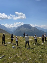
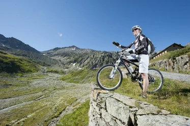
The higher it gets, the more difficult the path becomes. Shortly before the pass summit, expect sections where you may have to push the bike for up to 15 minutes. However, this does not diminish the phenomenal view of the mountains and valley.
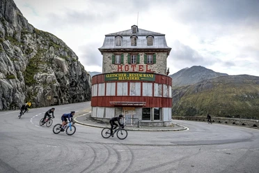
From the Susten Pass summit, the ride descends along the pass road until shortly before Gadmen, where the route continues to Innertkirchen away from traffic. After passing through the village, the bike path runs along the right riverbank - above the Aare Gorge - to Meiringen, which involves an ascent. Biking is prohibited inside the Aare Gorge itself.
- 8:00 h
- 56.31 km
- 1,631 m
- 2,470 m
- 597 m
- 2,255 m
- 1,658 m
- Start: Andermatt train station
- Destination: Meiringen train station
Good to know
Pavements
Best to visit
Directions
Tour information
Nature Highlight
Stop at an Inn
Equipment
- Clothing appropriate for the weather
Directions & Parking facilities
Andermatt is very well accessible from all four directions in summer, making it a pleasant starting point.
In Andermatt, there is a large parking lot directly behind the train station.
Andermatt is the connecting point of the Matterhorn Gotthard Railway and is therefore very well accessible by train. The destination Meiringen is also well connected by public transport. The timetable is the following: SBB timetable
Additional information
Current road information and pass opening times
"Alpine Bike" is a route marked by SchweizMobil that crosses Switzerland. It stretches nearly 680 kilometers and over 22,000 meters of elevation from Scuol in the canton of Graubünden across the Bernese Oberland to Aigle in the canton of Vaud. The route is signposted with the red MTB signs number 1.
Author
Andermatt-Urserntal Tourismus GmbH
Organization
Région de vacances Andermatt
Author´s Tip / Recommendation of the author
Safety guidelines
Nearby
