Bike route in the Altdorfer Bannwald


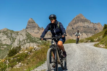
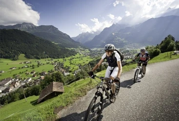
The ascent runs through shade-giving forest on a forest road. Just before the highest point of the route, the forest road turns into a wide mountain path. The view of the Urner Reuss valley and the old village centre of Altdorf is very beautiful. Continue to follow the mountain path, which leads to the descent at the highest point, to a wood storage area. The original route leads back to the cantonal road on a paved forest road via Spiss and Schuttfänger. Those who want a bit more of a challenge choose Option A. Option A: This descent is just right for beginners who want to get used to more difficult terrain. Option B: Those who still feel strong enough for an additional 400 meters of elevation climb up to Waldenen.
- 2:34 h
- 13.60 km
- 560 m
- 557 m
- 432 m
- 929 m
- 497 m
- Start: Flüelen train station
- Destination: Flüelen train station
Good to know
Pavements
Best to visit
Directions
Tour information
Loop Road
Author
Markus Fehlmann
Organization
Verein Urner Wanderwege
Author´s Tip / Recommendation of the author
Map

Nearby


Download GPX file