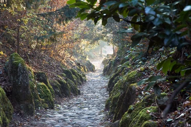
Chänzeli hike


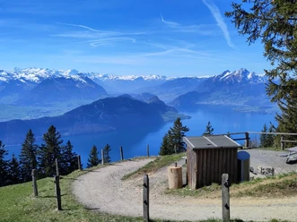
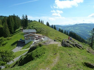
The hiking paradise Seebodenalp is located on a large, fore terrace at 1020 m above sea level above Küssnacht: At your feet glitters Lake Lucerne and high above towers Rigi Kulm. The alpine pasture, surrounded by forest, is reachable fastest and most comfortably by the Küssnacht – Seebodenalp aerial cableway.
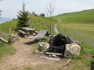
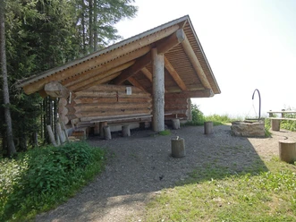
Rustic mountain restaurants invite you to enjoy and linger.
Notes
You can find the current operating status of the cable cars and hiking trails here.
To ensure that future generations can also enjoy the Queen of the Mountains, please dispose of your rubbish at the stations or take it home with you. Thank you.
- 3:30 h
- 9.40 km
- 588 m
- 588 m
- 1,018 m
- 1,606 m
- 588 m
- Start: Küssnacht - Seebodenalp
- Destination: Seebodenalp - Küssnacht
Waypoints
Good to know
Pavements
Best to visit
Directions
Seebodenalp (1020 m) – Alp Ruodisegg (1040 m) - Alp Räb (1124 m) – Chänzeli (1464 m) – Staffelhöhe (1537 m) - Rigi Staffel (1604 m) – Seebodenalp (1020 m)
Tour information
Loop Road
Nature Highlight
Stop at an Inn
Equipment
Sturdy footwear and weather-appropriate clothing. Possibly hiking poles. Food and drinks for the way.
Directions & Parking facilities
At the valley station of the Küssnacht-Seebodenalp aerial cableway, paid parking spaces are available.
However, we recommend public transport instead of a car: sit back, enjoy, and do something good for the environment.
Accessible by train and bus.
Continuous service during high guest frequency. To the timetable
Additional information
To ensure that future generations can also enjoy the Queen of the Mountains, please take your rubbish home with you. Thank you.
Author
Rita Baggenstos
Organization
Schwyzer Wanderwege
Author´s Tip / Recommendation of the author
I won’t miss something delicious from the kitchen of the Ruodisegg alpine farm before the hike starts.

Nearby

Download GPX file