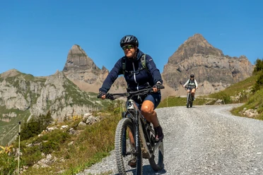
Chinzig Bike


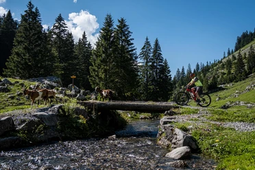
The first ascent (around 800 metres altitude difference) from Muotathal over the Goldplangg makes the legs burn for the first time. Then follows a short descent over Riemenstalden to Sisikon. On the Axen road towards Flüelen with the beautiful view of Lake Lucerne, the legs can rest a bit before the big climb follows. From Flüelen via the Eggberge to Chinzig Chulm, around 1600 metres altitude difference are overcome. At the top you are overwhelmed by the panorama. The toughest part is done and a long break can be enjoyed. Then follows the descent on a church road to Liplisbüel and further on the asphalt road back to Muotathal.
- 7:30 h
- 61.62 km
- 2,500 m
- 2,500 m
- 435 m
- 2,117 m
- 1,682 m
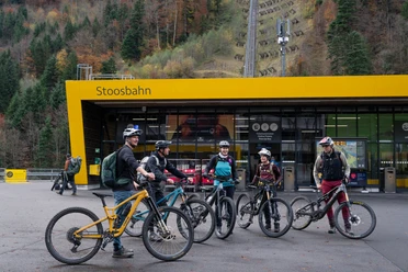
- Start: Muotathal
- Destination: Muotathal
Good to know
Pavements
Best to visit
Directions
Tour information
Stop at an Inn
Equipment
Directions & Parking facilities
Leave the motorway at the Schwyz exit and follow the signs towards Muotathal, Liplistrasse.
By train to Schwyz and then by direct bus No. 501 to the Muotathal bus stop, rear bridge.
Additional information
In der Zentralschweiz teilen wir uns viele Wege mit Wandernden, Familien oder anderen Naturnutzenden. Mit einem freundlichen Gruss, angepasster Geschwindigkeit und gegenseitigem Respekt sorgen wir gemeinsam dafür, dass Biken hier auch in Zukunft möglich bleibt. Danke, dass du fair unterwegs bist.
Author
Stoos-Muotatal Tourismus
Organization
Bikegenoss Zentralschweiz
Author´s Tip / Recommendation of the author
Enjoy homemade dishes and a cool refreshment at the alpine farms and restaurants located along the way.
Safety guidelines

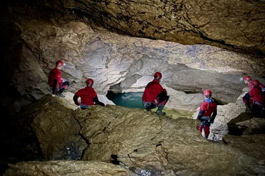
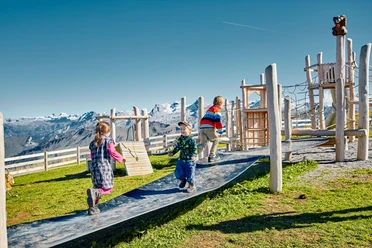
Nearby


