Circular hike Renggpass


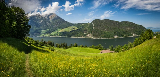
From Alpnachstad the shore path, planted with a variety of signposted shrubs, leads to Niederstad where it crosses the motorway. From here the historic mule track ascends steeply at first, then more gently, to the Rengpass, a pass already used by the Romans.
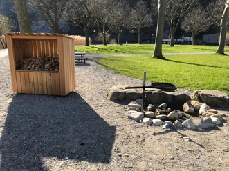
A historic boundary stone from 1706 marks the pass height, where various skirmishes took place throughout history. A mule track along the entire Lopper and Pilatus ridge was part of the front line of the Alpine fortresses during the Second World War. Stone shelters can still be found everywhere, and on the Obwalden side near the pass even refreshed rock paintings of the troops who served here.
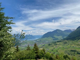
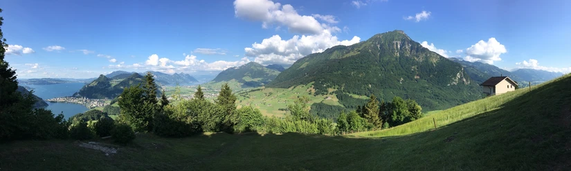
At the pass the hiking route leaves the pass path eastwards and follows the ridge up to Schofeld, where there is a magnificent view of the Obwalden region. The mule track continues down the Lopper in ten switchbacks to Acheregg. Instead of crossing the Acheregg bridge built in 1964 that leads to Stansstad, the hiking route follows the western lakeshore back to Alpnachstad.
- 4:30 h
- 13.17 km
- 497 m
- 497 m
- 432 m
- 888 m
- 456 m
- Start: Alpnachstad train station
- Destination: Alpnachstad train station
Waypoints
Good to know
Best to visit
Tour information
Cultural Interesting
Loop Road
Directions & Parking facilities
From Lucerne, take the tunnel onto the A8 towards Interlaken, change at Sarnen, then after the Lopper tunnel take the first exit to Alpnach. At the roundabout take the first exit towards Alpnachstad, Pilatus.
From Interlaken via Brünig on the A8 to the Alpnach exit. At the roundabout take the first exit towards Lucerne, drive through the village of Alpnach, and continue on the main road towards Lucerne, Alpnachstad.
Author
Obwalden Tourismus
Organization
Obwalden Tourismus

Nearby


Download GPX file