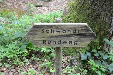
Circular route in the Rotmoos area

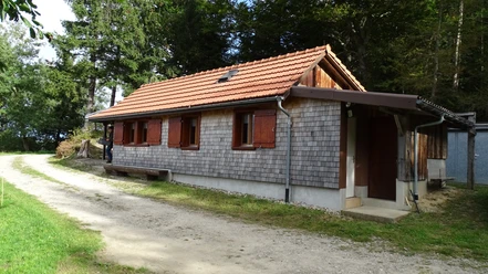
The short hike is ideal for a small route, for families or seniors - since not too many elevation meters are covered either. The hiking route starts near the Chapel Rotmoos, which was built in 1947/48. At Haselegg, you come across a wayside chapel that is said to go back to a "Sträggelen" legend. The prayer house is said to have been built where the "Sträggle" (witch) kidnapped a child.
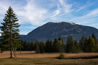
In some places, the view into the deep gorge of the Rümlig is impressive, especially between autumn and spring when the trees have no leaves. Also striking are some distinctive solitary trees like the lime tree at the highest point of the hill.
- 0:50 h
- 2.95 km
- 99 m
- 99 m
- 805 m
- 902 m
- 97 m
- Start: Chapel Rotmoos
- Destination: Chapel Rotmoos
Good to know
Pavements
Best to visit
Directions
Chapel Rotmoos – Cheese Dairy – Haselegg – Haselegg Huts – Chapel Rotmoos
Tour information
Loop Road
Directions & Parking facilities
The UNESCO Entlebuch Biosphere lies in the heart of Switzerland, centrally located between Bern and Lucerne. You can reach the district of Rotmoos via Main Road 10 towards Entlebuch and then via Rengg to Rotmoos.
Plan your route using the Google route planner.
A free parking lot is available behind the former Rotmoos schoolhouse.
Arrival by public transport is not possible for this route,
Additional information
Literature
Author
UNESCO Biosphäre Entlebuch
Organization
UNESCO Biosphäre Entlebuch
Author´s Tip / Recommendation of the author
View into the deep gorge of the Rümlig.
Safety guidelines
Good footwear, rain jacket & enough drinking water for the journey belong to every hike.
Further tips for safe hiking, information about suckler cow herds and guardian dogs and much more can be found on the website of the Swiss Hiking Trails.
Nearby
Download GPX file