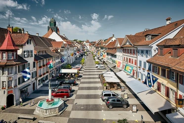
Circular route Willisau - Menzberg - Ostergau


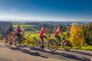
From Willisau station, we head west to the Hotel Mohren and follow the signposts for Menzberg. The road first gently climbs along the Buchwigger, then follows a steep ascent via the hamlet of Schülen towards Menzberg. Along the way, we repeatedly enjoy the beautiful view over the typical Napfbergland. Once at Menzberg, we can treat ourselves to a well-deserved break at the Landgasthof Menzberg.
Afterwards, it’s a fast ride all along the main road down to Menznau. Here we cross the cantonal road and after the railway crossing turn left towards Geiss until the Rötelberg junction. We then follow the road until, after a short descent, we see the wetland landscape of Ostergau on the right side, which invites a photo stop. From there, it’s only about ten minutes back to Willisau
- 2:30 h
- 27.02 km
- 601 m
- 601 m
- 551 m
- 1,023 m
- 472 m
- Start: Willisau, train station
- Destination: Willisau, train station
Good to know
Pavements
Best to visit
Directions
Tour information
Loop Road
Stop at an Inn
Summit
Directions & Parking facilities
Additional information
Author
Willisau Tourismus
Organization
Willisau Tourismus
Author´s Tip / Recommendation of the author
Since the route is exclusively on paved roads, it is also suitable for racing bikes
Insecure cyclists are better off choosing another route, as this route does not follow cycle paths
The viewpoint "Oberlehn" may not be cycled to; please walk the few meters on foot
Stop for food or overnight stay: Landgasthof Menzberg
Nearby


Download GPX file