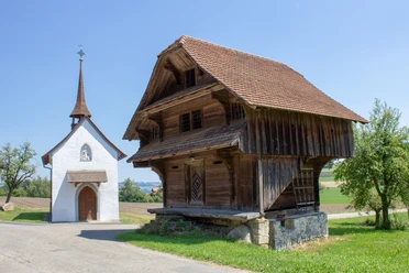
Eicher circular route


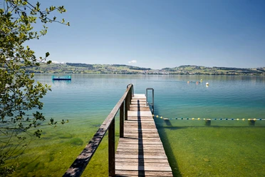
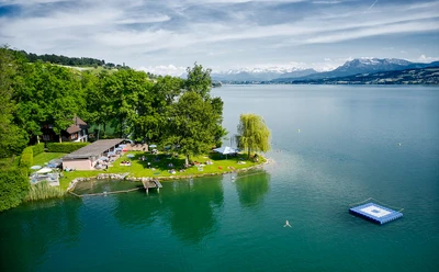
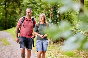
The Eich circular trail offers a varied hike from the village of Eich (530 m above sea level) up to the Eichberg (750 m above sea level). Discover sandstone rocks, waterfalls, ponds and biotopes as well as meadows and forests with breathtaking views of Lake Sempach and the mountains.
Highlights:
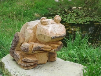
- Glöggli frog trail in the Pfarrtobel ravine
- Smartphone treasure hunt "The treasure of Eich"
- Rest bench with panoramic view (Obere Hundgellen)
- Panorama board by the Eichbergstrasse
- Roman path along the Eichberg vineyard
Benches and a barbecue area at the Brand sports and leisure facilities invite you to linger.
- 2:54 h
- 9.51 km
- 278 m
- 276 m
- 542 m
- 740 m
- 198 m
- Start: Parking lot of the school facilities near the Eich parish church
- Destination: Parking lot of the school facilities near the Eich parish church
Good to know
Best to visit
suitable
Depends on weather
Route markings
The circular route is signposted in an anti-clockwise direction. Alternatively, stages with public transport connections are possible.
Directions & Parking facilities
Parking
At the Eich parish church.
Eignung
Individualgäste
Gruppen
Schulklassen
Familien
Jugendliche
Erwachsene
Senioren
More information
Easily accessible on foot or by bike. Parking lot available.
Documents
Nearby