From Bödmeren to Silberenseeli


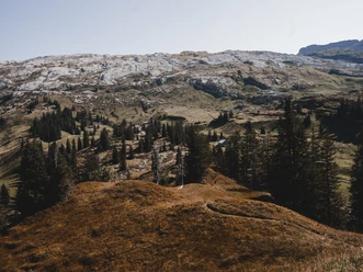
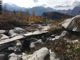
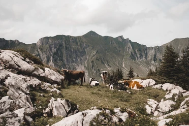
You will hardly encounter any Native Americans on this circular hike, even though the dreamy Silbersee awaits at the end. The vast karst areas of the Silberen shaped by water certainly resemble the filming locations of the Winnetou films in Croatia. At first, the path leads through the largest primeval forest in Western Europe. Like pillars, the ancient spruces stand along the path and tell stories of long, snowy winters. The spruces are soon replaced by birches and pines; the area resembles the tundra of the north. After a detour to the lonely Silberenseeli – with or without a swim – the return path leads through the extensive Mälchtal valley to the alpine farm Tor with its beautiful panoramic view of the mountains of the rear Muotatal valley.
- 5:30 h
- 13.39 km
- 806 m
- 806 m
- 1,525 m
- 2,146 m
- 621 m
- Start: Roggenloch on Pragelstrasse
- Destination: same.
Good to know
Pavements
Best to visit
Tour information
Loop Road
Nature Highlight
Stop at an Inn
Tour with Dog
Author
Xaver Büeler
Organization
Schwyz Tourismus
Author´s Tip / Recommendation of the author
Those with good fitness and sure-footedness can easily combine the route with the ascent of the main peak of the "Silberen" (2318 m above sea level), which offers a comprehensive panoramic view.
Safety guidelines
Warning: On the last section down to Silberenseeli there is no marked hiking trail, but the terrain is tiered and easy to walk.

Nearby
Download GPX file