Geological route Roggenstock


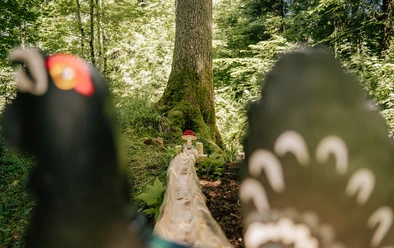
The geological educational route at Roggenstock offers interested hikers probably the most diverse insight into the formation of our Alps in a very small area. The educational route is complemented by botanical panels. The area around Oberiberg and Ibergeregg reveals three very different terrain types. To the west and south, the soft slopes and ridges. On top of these the bizarre rock bastions of the two Schijen, to the south and especially to the east the compact limestone mountains at Druesberg, Biet, and Stock.
All rocks in our area were deposited millions of years ago in a wide sea, evidenced by fossilized shells found enclosed. The oldest rocks can be found in the cliffs (Roggenstock, Schijen, Mördergruebi, Mythen). They date back to a time from 100 to 220 million years ago. Gray dolomites (similar to limestone), red radiolarites (deep-sea siliceous rocks), and light-colored limestones are the main representatives. This hike not only familiarizes you with the geological conditions of this beautiful area; it also aims to show what the rocks can tell about their formation. It will also sharpen our view of the close interrelationships between the bedrock and surface morphology.
- 3:15 h
- 11.59 km
- 656 m
- 658 m
- 1,069 m
- 1,684 m
- 615 m
- Start: Oberiberg
- Destination: Oberiberg
Good to know
Pavements
Best to visit
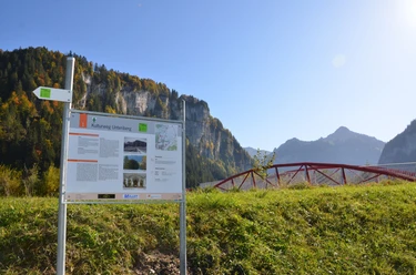
Directions
From the village center, follow the street toward Kirchenstrasse, Moos to Schwändi to Schlipfauweid. Ascend to the Tubenmoos nature reserve. Continue toward Bockeggen and Roggenegg to the Roggenhut and Fuederegg. At Laucherentobel keep right toward Buoffengaden, Laburg, Tschalun, and Oberiberg.
Alternative: Take the Laucheren chairlift to Steinboden, then continue on foot to Fuederegg-Roggenegg-Tubenmoos-Schwändi-Oberiberg.
Tour information
Loop Road
Nature Highlight
Stop at an Inn
Equipment
Directions & Parking facilities
Take the SOB to Einsiedeln; then the post bus from Einsiedeln, route NFB 555
Author
Erhard Gick
Organization
Schwyzer Wanderwege

Nearby

Download GPX file