High path Chilcherbergen-Golzern


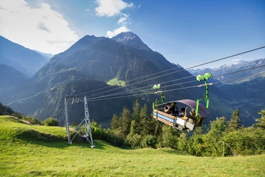
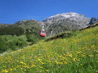
The route starts in Silenen. Here we find many old houses that date back to the time of the mule drivers across the Gotthard. With the aerial cableway, we slowly escape the hectic world on the north-south axis. We enter another world. Here we are surrounded by natural flower meadows.
Soon we come to a cozy forest section. Above us rises the Chli Windgälle, a beautiful and distinctive mountain. The path turns east. Just before the destination, we reach the first dry meadows of the Maderanertal. Now it is only a stone’s throw to the mountain station of the Bristen-Golzern aerial cableway.
- 2:20 h
- 5.20 km
- 416 m
- 175 m
- 1,158 m
- 1,521 m
- 363 m
- Start: Mountain station of the Silenen-Chilcherberge aerial cableway
- Destination: Mountain station of the Bristen-Golzern aerial cableway
Good to know
Best to visit
- suitableDepends on weather
Directions
Chilcherbergen - Riggwald - Golzeren
Tour information
Refreshment stop
Equipment
Good shoes, rain protection
Recommended map material:
Uri hiking and biking map sheet "Maderanertal"
Information about the Uri experience region can be found here: www.uri.swiss
Book your accommodation in the Uri experience region: www.uri.swiss/de/planen/unterkuenfte/
Directions & Parking facilities
- Getting thereBy car, take the A2 motorway. In Amsteg, leave the motorway and turn towards Amsteg village. Park your car here and take the bus to Silenen Dägerlohn. The Silenen-Chilcherberge aerial cableway takes you to the starting point of the hike.ParkingIf you can't find a parking space in Amsteg, drive under the motorway to the Amsteg-Vorderarni aerial cableway. There are enough parking spaces here. In five minutes, you reach the next bus stop.Public transportation
First, travel by train to Erstfeld.
At the Erstfeld station, take the bus to Silenen Dägerlohn. The valley station of the Silenen-Chilcherberge aerial cableway can be reached on foot in ten minutes. In Bristen, you can board the post bus at the valley station of the Bristen-Golzern aerial cableway, which takes you back to Amsteg. There, transfer to the bus that takes you to Erstfeld.
Additional information
Lots of information can be found on the Uri hiking map sheet "Maderanertal".
Author
Markus Fehlmann
Organization
Verein Urner Wanderwege
Author´s Tip / Recommendation of the author
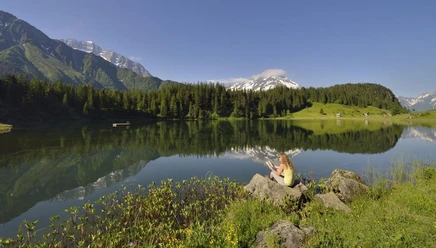
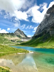
Since we are already at Golzern, a detour to Golzernsee is worthwhile. It invites you to swim. After cooling off, we can refresh ourselves in one of the alpine inns and enjoy a hearty snack before gondolaing back towards the valley.
Safety guidelines
There are several sections on this hike where you should be sure-footed and free from vertigo.
Map
Uri hiking map sheet "Maderanertal"