Horben - Sulzer Kreuz - Horben


Easy circular hike from the Alpwirtschaft Horben through the Sulzer Forest to the Sulzer Kreuz. It is worth taking a break at the Sulzer Kreuz to enjoy the panorama. The alpine indicator provides information about the names of the mountains. Following the edge of the forest, you hike back to the Alpwirtschaft Horben.
- 1:37 h
- 6.12 km
- 77 m
- 80 m
- 796 m
- 858 m
- 62 m
- Start: Alpwirtschaft Horben
- Destination: Alpwirtschaft Horben
Good to know
Best to visit
Directions
Tour information
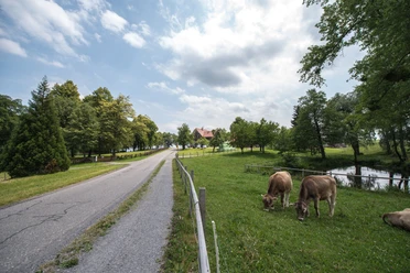
Loop Road
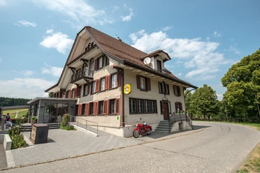
Stop at an Inn
Directions & Parking facilities
Additional information
Seetal Tourism
Niederlenzerstrasse 25
5600 Lenzburg
+41 (0)41 920 45 29
[email protected]
www.seetaltourismus.ch
Author
Seetal Tourismus
Organization
Seetal Tourismus
Author´s Tip / Recommendation of the author
- stop by at the Alpwirtschaft Horben
- enjoy the panorama at Sulzer Kreuz
Map
Topographic map 1:25,000 (Federal Office of Topography swisstopo) sheet Hochdorf
Hiking map 1:50,000 (Federal Office of Topography swisstopo) sheet Rotkreuz
Nearby
Download GPX file