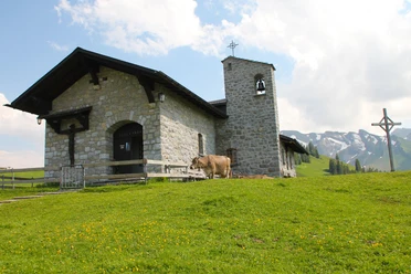
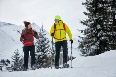
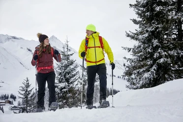
Klewenstock round route

From the Klewenalp top station, go a few meters towards Klewenboden and then turn towards the Klewenstock chairlift. Over a snowshoe trail, it goes to the valley station of the Klewenstock chairlift, where you can then relax comfortably during the ascent with the Klewenstock chairlift. Arriving at the top station of the chairlift, the snowshoe trail leads down through a forest path towards the winter hiking trail. The last section back to the top station can then be covered on the winter hiking trail.
- 1:35 h
- 2.66 km
- 280 m
- 284 m
- 1,457 m
- 1,726 m
- 269 m
- Start: Klewenalp top station
- Destination: Klewenalp top station
Good to know
Best to visit
Directions
Klewenalp top station - valley station Klewenstock chairlift - Klewenstock chairlift top station - junction Tannibüel/Brämegg - Klewenalp top station
Tour information
Loop Road
Mountain Railway Tour
Stop at an Inn
Directions & Parking facilities
The Klewenalp region is very centrally located directly on the A2 north-south connection and is very quickly and comfortably accessible. More information on arrival at www.klewenalp.ch
Paid parking spaces are available. The current rates can be found at www.klewenalp.ch
Either by boat, for example from Lucerne or Brunnen, or by train and bus from Lucerne to Beckenried, you can quickly and easily reach the valley station of the Beckenried-Klewenalp aerial cableway. For more information on getting there, visit www.klewenalp.ch
Additional information
The operating times of the aerial cableway and chairlift can be found at www.klewenalp.ch/fahrzeiten.
Author
Bergbahnen Beckenried-Emmetten AG
Organization
Nidwalden Tourismus
Nearby


Download GPX file