Krienseregg - Chraigütsch - Eigenthal - Eigenthalerhof
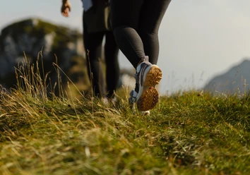
From Krienseregg, the trail descends slightly along Route 3a, past Dorschnei and then up to the point at 1,040 metres. It then continues across an often marshy meadow to the Chräigütsch viewpoint (1,081 m). If you want to keep your shoes dry or are travelling with a pram, you can take the hairpin bend to the point at 1,027 metres, which is only a small detour. This section offers an impressive view of the rugged Pilatus mountain range. The nature trail continues past the former holiday homes of the city of Lucerne, crosses around 200 metres of forest and ends at the Eigenthalerhof bus stop. Eigenthal at the foot of Mount Pilatus is a popular recreational area for the Lucerne agglomeration.
- 1:40 h
- 5.31 km
- 199 m
- 210 m
- 935 m
- 1,096 m
- 161 m
- Start: Krienseregg
- Destination: Eigenthalerhof
Waypoints
Good to know
Best to visit
Tour information
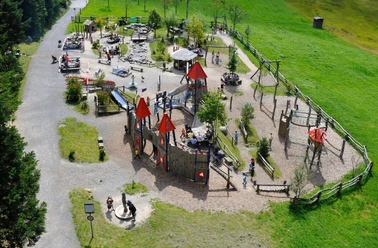
Familiy-Friendly
Stop at an Inn
Equipment
Directions & Parking facilities
Author
Luzern Tourismus
Organization
Luzern Tourismus
Author´s Tip / Recommendation of the author
Nearby