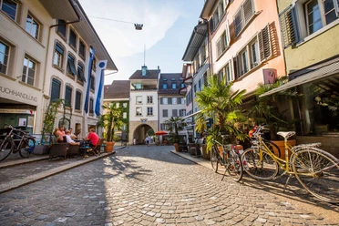
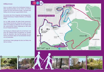
Lenzburg Walking Trail 1


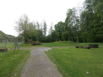
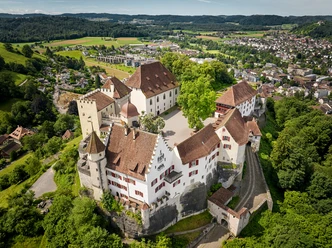
The red route runs from the Bachstrasse parking lot (near Lenzburg swimming pool) along the Aabach via Fünfweiher to the entrance to the Lütisbuech. From there, follow Route 1 through the Lütisbuech forest and enjoy the Alpine view from the highest point. Over the Bühl, you reach the castle and also enter the municipalities of Ammerswil and Hendschiken. From the castle, the scenic Upper Haldenweg passes the Bölli back to the Bachstrasse parking lot.
The Route 1 covers a greater elevation difference, but it is spread over longer gentle slopes and descents.
- 2:28 h
- 10.68 km
- 207 m
- 207 m
- 398 m
- 537 m
- 139 m
- Start: Parking lot Bachstrasse (near Lenzburg swimming pool)
- Destination: Parking lot Bachstrasse (near Lenzburg swimming pool)
Waypoints
Good to know
Pavements
Best to visit
Directions
Tour information
Loop Road
Directions & Parking facilities
Additional information
Other starting points: Fünfweiher parking lot and Castle Lenzburg parking lot
Seetal Tourism
Niederlenzerstrasse 25
5600 Lenzburg
+41 (0)41 920 45 29
[email protected]
www.seetaltourismus.ch
Author
Seetal Tourismus
Organization
Seetal Tourismus
Nearby


Download GPX file