Marbach – Sidenmoos – Marbachegg


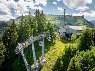
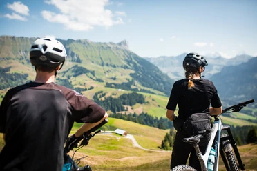
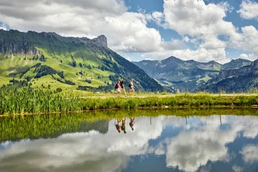
The hike begins at the valley station of the gondola lift in Marbach, LU, and follows varied trails uphill toward Marbachegg. The route frequently runs alongside the Clientis Flow Trail, offering exciting glimpses into the world of mountain biking. With a little luck, you can watch the bikers on their high-speed rides and spectacular jumps.
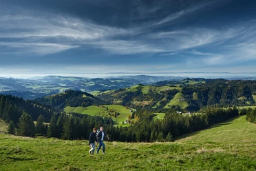
Along the way, the “Sidenmoos” and “Wald” fire pits invite you to take a leisurely break—ideal spots to enjoy nature and recharge your energy. The steady climb is repeatedly accompanied by beautiful views of the surrounding mountain landscape.
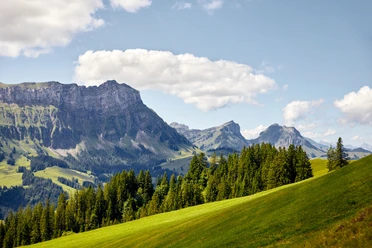
Once you arrive at Marbachegg, the Marbachegg mountain inn awaits hikers with its sunny terrace and magnificent panorama. From here, there are numerous options: a leisurely return trip by gondola, the descent back to Marbach, or a scenic hike along the Schrattenfluh toward Flühli, Bumbach, or Kemmerboden. The possibilities are almost endless.
- 1:55 h
- 3.65 km
- 585 m
- 3 m
- 886 m
- 1,471 m
- 585 m
- Start: Gondola Base Station
- Destination: Marbachegg Mountain Station
Waypoints
Good to know
Pavements
Best to visit
Tour information
Summit
Tour with Dog
Directions & Parking facilities
Plan your route using Google Maps.
Plan your trip using the SBB online schedule
Additional information
Marbach Tourist Office
Dorfstrasse 61
CH-6196 Marbach
Phone +41 (0)34 493 38 04
www.escholzmatt-marbach-tourismus.ch
Author
Escholzmatt-Marbach Tourismus
Organization
UNESCO Biosphäre Entlebuch

Nearby


