Mueterschwandenberg bike route


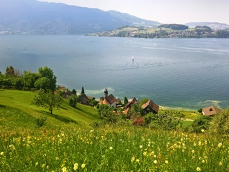
This varied route leads from the cantonal capital Stans through the Rotzschlucht to the lovely Drachenried, up to Mueterschwandenberg, to the Zingel viewpoint.
- 1:30 h
- 12.86 km
- 400 m
- 17 m
- 435 m
- 833 m
- 398 m
- Start: Stans
- Destination: Zingel, on Mueterschwandenberg
Good to know
Pavements
Best to visit
Directions
Tour information
Cultural Interesting
Familiy-Friendly
Loop Road
Equipment
Wearing a bike helmet is recommended and a bike light is mandatory on e-bikes.
Bike helmet and gloves recommended.
Directions & Parking facilities
Paid parking spaces at the municipal parking lot in Stans.
Train trip to Stans. See the timetable.
Additional information
The e-bike tour partly follows the SwitzerlandMobil Routes 85 and 4.
For tourist information, Nidwalden Tourism is available.
Author
Nidwalden Tourismus
Organization
Nidwalden Tourismus
Author´s Tip / Recommendation of the author
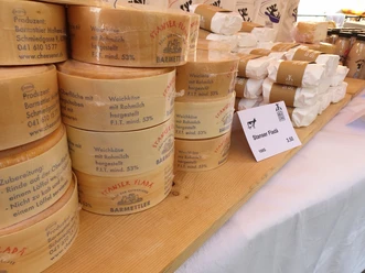
Culinary tip nearby:
Drachenried shop and Erlebnis farm Vorsäss, Ennetmoos
For those in Drachenried, a visit to these two specialty shops is worthwhile. Here you can find homemade products like syrup, cherry brandy, ostrich meat, and much more: drachenried.ch / erlebnishof-vorsaess.ch
At Mueterschwandenberg, a refreshment can be enjoyed at the Besenbeiz Fegnescht.
Safety guidelines
Follow the Mountain Bike Code of Conduct – this way you remain welcome with your mountain bike.
Map
The brochure "Bike Routes in Ob- and Nidwalden" is available at Nidwalden Tourism.
Nearby


Download GPX file