Naturkundlicher Höhenweg Isenthal Route 2


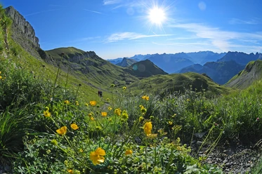
For centuries, Isenthal was hidden from most of the Uri population. The community of Isenthal, today’s hiking area, was only accessible on foot by the old land route from the communities of Bauen/Seedorf. Hikes in the Chli and Grosstal valleys and the crossings to the neighboring cantons were considered cumbersome and time-consuming. Today the village of Isenthal is well connected as a starting point for numerous rewarding hikes using public transport. The «Naturkundlicher Höhenweg Isenthal» via Sassigrat lies in the federal hunting reserve area. It features an exceptionally rich biodiversity.
- 3:20 h
- 8.69 km
- 719 m
- 721 m
- 977 m
- 1,698 m
- 721 m
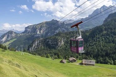
- Start: St. Jakob
- Destination: St. Jakob
Good to know
Pavements
Best to visit
Directions
The St. Jakob PostBus stop is the starting point of route 2. The natural road that begins after 300 m leads to Alp Chimiboden. Here the path branches off into the Witen valley (Upper Rüteli). For the further ascent, the hiker has the option of the easy forest path or the old steep mountain path as a variant up to Biwaldalp. The mountain inn, operated during the alpine season, offers food and accommodation options.
For the descent to St. Jakob, we use either the path over Jäntli up to the Witen valley junction or the direct descent Biwaldalp-Witental-Gross Wald-Rüteli-St. Jakob.
Tour information
Cultural Interesting
Loop Road
Nature Highlight
Stop at an Inn
Equipment
Functional clothing, good shoes, wind and rain protection, pocket first aid kit, snacks
Directions & Parking facilities
Additional information
Literature
Author
Priska Herger
Organization
Verein Urner Wanderwege
Author´s Tip / Recommendation of the author
Buy the booklet «Naturkundlicher Höhenweg Isenthal» at the village shop or Hotel Urirotstock. It contains numerous pieces of information.
Safety guidelines
The high path on this route is continuously marked with signposts and the mountain path marking white-red-white.
Map
Uri hiking and biking map, Urnersee sheet 1:25,000
Available for order at:

Nearby

Download GPX file