Schwyz High Route Stage 3: Goldau – Sattel


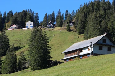
The third stage of the Schwyz High Route focuses mainly on the Goldau rockslide. It should be noted that the Rossberg is a mountain range between the cantons of Schwyz and Zug. The mountain range has three peaks; the highest is the middle peak, the Wildspitz (1580 m), to the east the wooded Chaiserstock (1426 m), and to the west the barren Gnipen (1567 m). On September 2, 1806, 30-40 million cubic meters of rock broke off the south slope of the Rossberg and tumbled down the valley. The villages of Röthen, Buosingen, and Goldau were destroyed, and 457 people died. The Goldau rockslide caused a sensation throughout Europe at the time and subsequently found its way into literature, music, and painting. The Goldau rockslide remains one of the most spectacular natural sites in Switzerland and has lost none of its fascination to this day. On the ascent to the Wildspitz, you can vividly experience the rockslide. At the Gnipen, the full extent of the disaster becomes clear. From Gnipen to Wildspitz and Halsegg, you walk along the canton border between Schwyz and Zug, with fantastic views into nature and the panorama. The descent from Halsegg to Sattel is varied and offers numerous beautiful landscape views.
- 5:20 h
- 13.37 km
- 1,156 m
- 874 m
- 504 m
- 1,556 m
- 1,052 m
- Start: Goldau SBB station
- Destination: Sattel SOB station
Good to know
Pavements
Best to visit
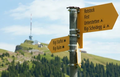
Directions
Tour information
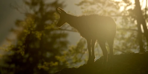
Nature Highlight
Stop at an Inn
Equipment
Directions & Parking facilities
By car via motorway A4 to the Goldau exit, then to the center of Goldau.
Parking spaces at the SBB station (fee required).
By SBB to Arth-Goldau station. SBB timetable
Author
Erhard Gick
Organization
Schwyzer Wanderwege
Author´s Tip / Recommendation of the author
Safety guidelines
Nearby