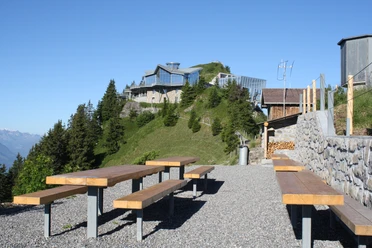
Stans - Ebnet - Stanserhorn

From the village center of Stans, hike along the route of the vintage funicular railway from 1893, through idyllic neighborhood streets past the chapel “Maria zum Schnee” to the middle station Kälti. From there, follow the path to Ebnet to the Ahornhütte. There is a picturesque spot to pause briefly and unpack something from your backpack. Then continue to the Alp Blatti – the outermost point of the Stanserhorn. Treat yourself to some sunbathing at Blatti or then linger at the Rinderalp and watch the paragliders taking off. On the way to the summit, you may sometimes even see hang gliders flying off.
- 5:00 h
- 11.68 km
- 1,508 m
- 95 m
- 450 m
- 1,883 m
- 1,433 m
- Start: Stans
- Destination: Stanserhorn
Waypoints
Start
Destination
Good to know
Pavements
Street (1%)
Asphalt (9%)
Gravel (1%)
Trail (30%)
Path (59%)
Best to visit
suitable
Depends on weather
Equipment
Good footwear, rain jacket & sufficient drinking water for the journey are essential for every hike.
Directions & Parking facilities
Getting there
Take the A2 motorway to the Stans-Nord exit. Follow the signs to the Gemeindeparkplatz Turmatt or the station parking. The valley station of the Stanserhorn-Bahn is located in the center at Stansstaderstrasse 19. From Lucerne, you can be in Stans in about 15 minutes. From the parking lots, it takes 5 minutes on foot to the valley station.
Parking
Parking options are limited, and all parking spaces are subject to a fee.
Public transportation
From Lucerne station, you can reach Stans comfortably and relaxed in 13 minutes with the Zentralbahn (route Lucerne – Stans – Engelberg).
Author
Marco Burgener
Organization
Lucerne Tourisme

Nearby