Stockberg circular route

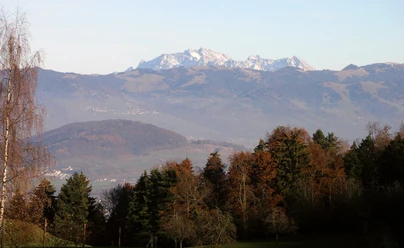
Some mountains never become famous: the Stockberg located at the entrance to the Wägital is one of this kind. Its shape, reminiscent of a slightly too flat camel hump, is not very distinctive, and its neighbors are higher and better known. Wonderful are the views that present themselves. Between lush flower meadows and a steel-blue sky, the eye sees the gathered Wägital prominences. Chöpfenberg, Tierberg, Bockmattli, Zindlenspitz, Mutteristock, and Fluebrig still wear their white spring garb.
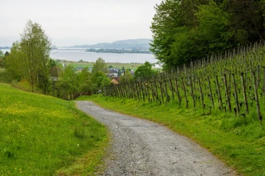
Another reason why only a few people climb it is that you cannot get close to its summit by car or public transport. Bachtel, Etzel, Schnebelhorn, and the like have it much easier in this regard. The view of the Stockberg is repeatedly granted, and you rarely have the feeling of being just a short distance from the large Märchler villages.
- 5:45 h
- 16.79 km
- 817 m
- 810 m
- 432 m
- 1,198 m
- 766 m
- Start: Siebnen
- Destination: Siebnen
Good to know
Pavements
Best to visit
Directions
Tour information
Loop Road
Nature Highlight
Stop at an Inn
Equipment
Directions & Parking facilities
Author
Erhard Gick
Organization
Schwyzer Wanderwege
Nearby

Download GPX file