Tell Trail Stage 2: Muota Valley - Brunnen


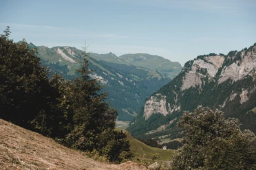
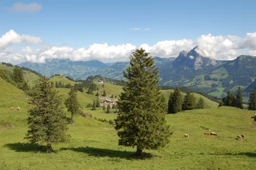
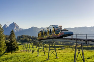
The second stage of the Tell Trail runs along the famous joke hiking trail from the Muota Valley with the steepest funicular railway in the world into the car-free mountain village of Stoos. Then follows a short hike to the valley station of the chairlift and subsequently the ridge hike from Klingenstock to Fronalpstock. By chairlift and aerial cableway or on foot downhill, you reach the Schwyzerhöhe and via Morschacher Forest to Brunnen on the lake.
Walking time: approx. 5 hours, distance: 16 km (without mountain railways), ascent: 398 m (with mountain railways: 1,731 m), descent: 915 m (with mountain railways: 1,922 m)
- 5:00 h
- 27.86 km
- 1,731 m
- 1,922 m
- 435 m
- 1,927 m
- 1,492 m
- Start: Muotathal - Bus stop "Hintere Brücke"
- Destination: Brunnen, boat station
Waypoints
Good to know
Pavements
Best to visit
Directions
Tour information
Mountain Railway Tour
Stop at an Inn
Summit
Equipment
Directions & Parking facilities
Additional information
This stage belongs to the long-distance hiking trail Tell Trail, which runs through the entire Central Switzerland in eight stages.
More info on the Tell Trail at www.luzern.com/telltrail
Organization
Lucerne Tourisme
Safety guidelines
T3 demanding mountain hiking.
- Good surefootedness
- Average orientation skills
- Basic alpine experience

Nearby