The Wynental Hills Route


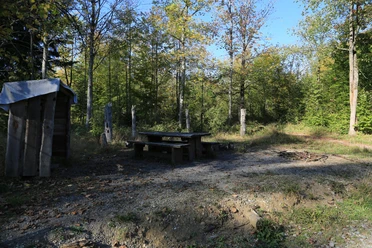
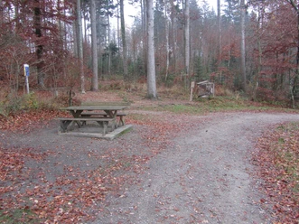
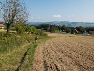
The start makes clear what awaits us: steeply up to the Reinach forest hut at Stierenberg. Via Bohler, we reach Brünnelichrüz and over the plateau continue to Waltersholz, then descend to Schlossrued. There is a bit of rest, then we ride along the forest edge to Schöftland, where it’s time for a break. Afterwards, it goes uphill again in the forest to the left of Böhler road, the passage between the Wynen and Suhrental valleys. We cross the pass summit and ride past the animal shelter. Now it goes downhill on Chli Susten to Oberkulm. From here, it is flat, comfortable, but also pretty back to Reinach.
- 3:00 h
- 35.65 km
- 650 m
- 650 m
- 458 m
- 711 m
- 253 m
- Start: Reinach Nord train station
- Destination: Reinach Nord train station
Good to know
Pavements
Best to visit
Directions
Tour information
Loop Road
Stop at an Inn
Equipment
Directions & Parking facilities
Additional information
A detailed experience report can be found here: http://idnu.ch/wordpress/die-wynentaler-huegeltour
Author
Tourenplaner SCHWEIZ
Organization
Tourenplaner SCHWEIZ
Author´s Tip / Recommendation of the author
Map
Nearby


Download GPX file