Urseren Höhenweg


A fantastic high altitude trail traverses above Hospental with brillant views towards Andermatt and the Gotthard Pass.
- 4:25 h
- 33.68 km
- 1,096 m
- 1,101 m
- 1,430 m
- 2,309 m
- 879 m
Good to know
Pavements
Street (26%)
Asphalt (5%)
Gravel (11%)
Trail (23%)
Path (35%)
Best to visit
suitable
Depends on weather
Tour information
Loop Road
Author
Tobi @Trail-Hub.com
Organization
Trail-Hub.com
Author´s Tip / Recommendation of the author
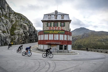
Be careful with the traffic on the Furkapass road, consider the shuttle by public bus (Postauto).

Nearby


Download GPX file