Waldstätterweg


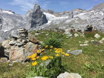
Take a break with the circuit hike to rediscover one of the original landscapes of Swiss tourism. Whether in multi-day stages or single day stages, experience the natural and cultural area of Lake Lucerne with fresh eyes.
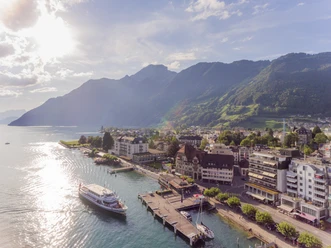
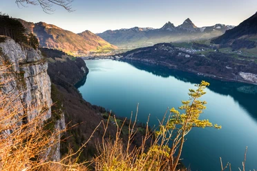
The route follows the lake as a guide and circles all its arms. It runs over lakeside paths, mountain hiking trails, and urban promenades, and also includes historical paths such as the cliff path at Bürgenstock. Whether with or without luggage transport, numerous accommodation options in hotels or agritourism bring you closer to the land, people, and characteristics of the region. With ship, postal bus, and bus, you have flexibility in your day planning. Dive into the cool water if you feel like it.
- 36:00 h
- 113.94 km
- 4,800 m
- 4,800 m
- 434 m
- 1,064 m
- 630 m
- Start: Brunnen
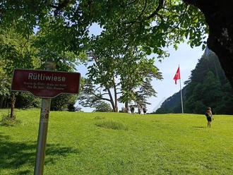
- Destination: Rütli
Good to know
Pavements
Best to visit
Directions
The Waldstätterweg is continuously signposted as regional route No. 98 of the SchweizMobil network in both directions.
Tour information
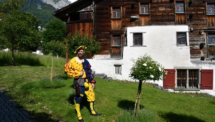
Cultural Interesting
Stop at an Inn
Equipment
Grippy footwear, moderate endurance: the Waldstätterweg is partly also a mountain hiking trail. Except for stage 3, sturdy shoes with good soles are recommended on all stages. The staging is designed for moderate fitness. Weather-appropriate equipment is a prerequisite.
The hiking times are approximate and do not include breaks for meals, sightseeing, or swimming. We recommend allowing sufficient time for each stage.
Directions & Parking facilities
The motorway from Zurich and Lucerne leads via Rotkreuz directly to Brunnen. Parking spaces are signposted in the town centre of Brunnen.
Muotaplatz – Gersauerstrasse 56 – 6440 Brunnen
P+Rail Brunnen – Bahnhofstrasse 46 – 6440 Brunnen
Train and Bus. From Zurich and Lucerne, you can reach Brunnen on an hourly or half-hourly schedule. The same applies from Ticino. There is a bus from Brunnen train station to the ship pier. However, the shore of Lake Lucerne can be comfortably reached on foot in just 7 minutes. www.sbb.ch
Literature
Cultural Landscape Guide, Around Lake Lucerne. Waldstätterweg & Weg der Schweiz. 2nd edition.
ISBN 978-3-03818-334-1
Author
Jonas Ulrich
Organization
Schwyzer Wanderwege
Author´s Tip / Recommendation of the author
To shorten walking times, public transport can be used for individual sections.
Safety guidelines
Attention: The cliff path at Bürgenstock is closed and impassable from November to April.

Nearby


