Urner Alpenkranz complete route


Mountains offer views and insights
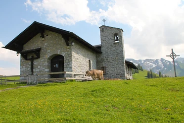
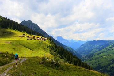
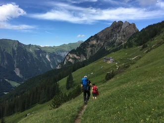
What has always been clear to the locals is impressively apparent on the Urner Alpenkranz to every hiker from near and far: Uri is not only heard about in traffic reports on the car radio but offers unique living, economic, and recreational spaces. This Uri, with its distinctive mountain architecture, quiet corners in solitary valleys, countless natural beauties, and rare curiosities, invites you to discover it over and over again and to let it affect you.
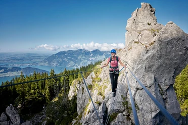
Uri is one of the most mountainous cantons in Switzerland. The imposing Axenstrasse leads through steep rocks into the valley floor of Uri. In the border-defining mountains, the rivers Reuss, Ticino, Rhine, and Rhone originate. And besides the northern connection, the alpine passes Klausen, Susten, Oberalp, Furka, and Gotthard connect our canton with the rest of Switzerland.
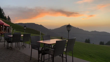
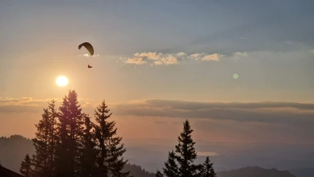
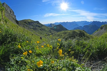
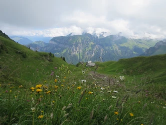
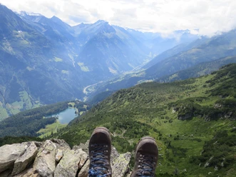
Between Lake Uri and Gotthard, countless dreamlike hiking routes and well-marked mountain paths can be found—high above foggy valleys and gray everyday worries. The same mountains caused fear and terror just 200 years ago. Today, they are a source of inspiration, strength, and health. They achieve unprecedented relief from everyday stress through active, close-to-nature, and authentic encounters. And so, when stubborn fog layers lay over lowlands and minds, the Urner Alpenkranz also becomes a destination for small escapes. Starting points for this world of experience are the mountain huts and mountain inns throughout the canton.
- 150:12 h
- 382.46 km
- 27,777 m
- 27,837 m
- 434 m
- 2,836 m
- 2,402 m
- Start: Klewenalp
- Destination: Brüsti
Good to know
Pavements
Best to visit
Equipment
- Sturdy hiking boots with a grippy sole, weather-appropriate equipment, topographic national maps (not just smartphone), compass, and altimeter belong to the basic equipment.
- In addition, a first aid kit, rescue blanket, and mobile phone for emergencies are part of the basic equipment.
- Poles and glacier equipment for glacier tours are necessary.
- Hiking poles are very helpful on scree, especially with a heavy backpack.
- For alpine hiking trails, depending on the stage, rope, climbing harnesses, ice axe, and crampons are additionally recommended.
Additional information
- www.alpenkranz.ch
- Local mountain guides & qualified hiking leaders can be found at: Montanara Bergerlebnisse, Mountain Guide Association Uri and Honigberg.ch
Literature
Author
Sanna Laurén
Organization
Verein Urner Wanderwege
Author´s Tip / Recommendation of the author
Safety guidelines
Mountain hiking is demanding.
Knowledge of dangers in the mountains (rockfall, slipping/fall hazards, sudden weather changes) is necessary for mountain & alpine hiking trails. Sturdy hiking boots with a grippy sole, weather-appropriate equipment, topographic national maps (not just smartphone), compass, and altimeter belong to the basic equipment. For alpine hiking trails, rope, ice axe, and possibly crampons are additionally recommended. In addition, a first aid kit, rescue blanket, and mobile phone for emergencies are part of the basic equipment.
It is advisable to do serious route planning and careful preparation for every hike. The weather in the mountains can change very quickly. Fog can also make orientation difficult in summer. The greatest danger in summer besides the heat is thunderstorms. Thunderstorms with heavy rain and hail can quickly turn a small stream into large rivers, and the danger of mudslides and rockfall increases. Therefore, it is important to interpret the weather report during route planning. Thermal thunderstorms often come only in the afternoon, but frontal thunderstorms can occur at any time of the day. Generally, it is advisable to start early in summer.
Mountain guides or qualified hiking leaders (up to T4) are recommended for alpine hiking trails (marked white-blue-white routes), and hiking leaders for hikes and mountain hikes. They take over the organization & planning of the routes so that guests can simply enjoy the hike.
The Urner Wander planner and the Uri Outdoor app help with planning. Via Geo Admin, you can find many useful information, such as where pastures with herd protection dogs, cow-calf grazing areas, and also wildlife resting zones are located.
Hikers hike at their own responsibility. The Urner Wanderwege association is not liable for accidents occurring during the Urner Alpenkranz hike.
Map
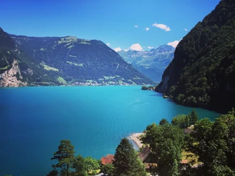
Lake Uri, Schächental, Maderanertal and Gotthard.
Nearby
Our recommendations


