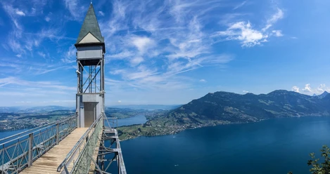
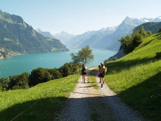
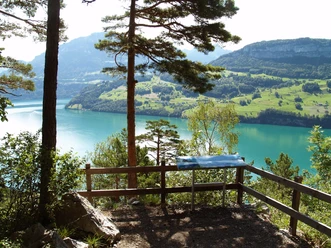
Waldstätterweg Stage 6: Bürgenstock - Beckenried


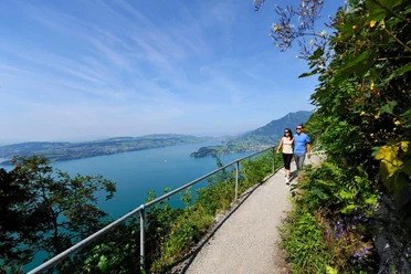
Along the rock path at Bürgenstock, which allowed the ladies and gentlemen of the world as an alpine promenade to look back at the city of Lucerne. Passing the pilgrimage site St. Jost to the shores of Ennetbürgen, Buochs, and Beckenried.
The Waldstätterweg is continuously marked as a regional route in the SchweizMobil network and signposted in both directions as Route No. 98.
- 4:00 h
- 13.66 km
- 222 m
- 659 m
- 433 m
- 1,038 m
- 605 m
- Start: Bürgenstock, funicular
- Destination: Beckenried
Waypoints
Start
Destination
Good to know
Best to visit
suitable
Depends on weather
Directions
Bürgenstock - Ennetbürgen - Buochs - Beckenried
Additional information
Association Weg der Schweiz & Waldstätterweg
Brunnen Tourism Office
Bahnhofstrasse 15
CH-6440 Brunnen
Tel.: +41 (0)41 825 00 40
E-mail: Information about the Waldstätterweg: www.waldstaetterweg.ch
Brunnen Tourism Office
Bahnhofstrasse 15
CH-6440 Brunnen
Tel.: +41 (0)41 825 00 40
E-mail: Information about the Waldstätterweg: www.waldstaetterweg.ch
Author
Nidwalden Tourismus
Organization
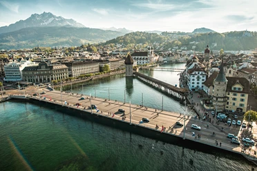
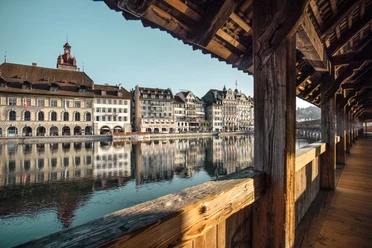
Lucerne Tourisme

Nearby


Our recommendations