WanderWunder Schwyz: Circular hike in the Rothenthurm moorland


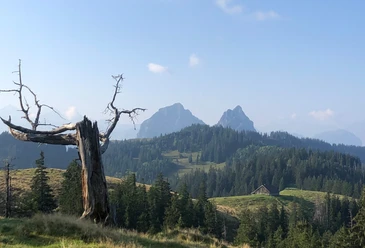
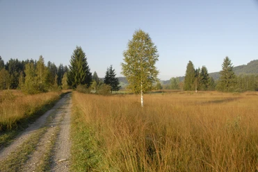
Until the 1940s, peat extraction in the Rothenthurm bog was a thriving industry. Peat cutting edges and peat huts are reminders of this time. Today, the 1100-hectare moorland is under nature protection, so on a hike you will discover rare natural beauties. The circular hike is almost flat and also suitable for families.
Along the way you encounter specialized plant species that can only survive in wetlands, such as cotton grass or cranberries. In the area between Bubrugg and Bibersteg, the Biber stream meanders freely through the landscape in wide bends. Such natural stream courses have become rare in Switzerland.
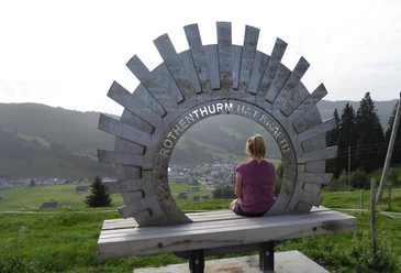
If you want to rest in between to quietly admire the colorful mats and the surrounding hills, you can stop at Steinstossstübli. The village of Rothenthurm, as the start and end point, also offers various catering options.
- 2:34 h
- 10.17 km
- 39 m
- 39 m
- 892 m
- 927 m
- 35 m
- Start: Rothenthurm station
- Destination: Rothenthurm station
Good to know
Pavements
Best to visit
Tour information
Loop Road
Nature Highlight
Stop at an Inn
Directions & Parking facilities
Author
Schwyzer Wanderwege
Organization
Schwyzer Wanderwege
Author´s Tip / Recommendation of the author
Nearby
Download GPX file