WanderWunder Schwyz: Circular hike Muotathal with Plate Path


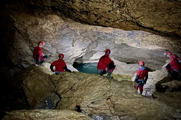
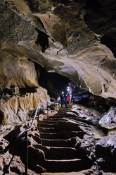
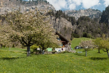
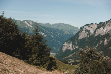
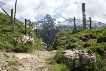
From the Stalden bus stop, follow the asphalt road uphill towards Pragel. Forget this part of the hike; you will be compensated a thousandfold by the rest. At Äbneli/Sturzegg, take the turnoff towards Fedli – (Gross Band) – Gschwänd. The ascent along the steep cliff is challenging, but so are the natural beauties and views! The higher you get, the more open the panorama becomes, and the Urner peaks with firn snow are within reach. Afterwards, follow the mountain path over alpine pastures to the “Eigeliswald” parking lot. The forest areas nearby are known as “Urwald Bödmeren.” You walk downhill along the Pragel road to the signpost in Fruttli. Here you switch to the north side of the Starzlen and thus reach the Plate Path, which crosses a historic mountain debris cone. Huge slabs invite you to linger, and rare orchids bloom by the path. Through Horgrasen, it goes back to the starting point Stalden.
- 4:58 h
- 13.32 km
- 931 m
- 931 m
- 663 m
- 1,426 m
- 763 m
- Start: Stalden
- Destination: Stalden
Good to know
Pavements
Best to visit
Directions
Tour information
Loop Road
Nature Highlight
Equipment
Directions & Parking facilities
Take the train to Schwyz and then the direct bus No. 1 to the Muotathal, Post stop.
From there a short walk to the Muota schoolhouse.
Additional information
A suitable blog post:
freizeitfreunde.ch/blogs/575
Author
Stefan Gwerder
Organization
Schwyzer Wanderwege
Author´s Tip / Recommendation of the author
- Beautiful view over the Muotathal
Nearby

Download GPX file