Bärgmandlipfad around the Giswilerstock


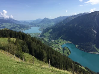
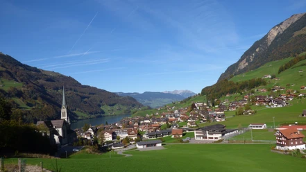
The circular hike offers wonderful views and insights: to the south the Haslital and behind it the Bernese Alps with the Wetterhorn group, to the west the Mariental with the impressive Schrattenfluh, to the north the high moor alps bordered by the Pilatus and finally to the east the lovely Sarneraatal. Between them, alpine farms offer hearty local fare for refreshment. For the fit hikers, a short detour to the summit cross of the Giswilerstock is a rewarding goal.
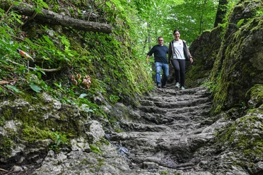
Large parts of the trail lead through a wildlife sanctuary and hunting reserve. Here chamois, roe deer, and red deer, as well as golden eagles can be observed. The area is extremely rich in legends about the Bärgmandli and other stories. These, as well as the interesting geology and the flora and fauna of the area, can be found in the brochure to the Bärgmandlipfad. The brochure is available at the information counters of Giswil and Obwalden Tourism.
- 5:05 h
- 13.15 km
- 841 m
- 817 m
- 1,194 m
- 1,950 m
- 756 m
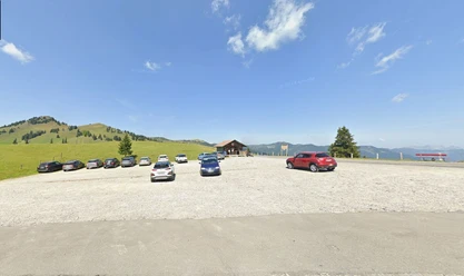
- Start: Mörlialp parking lot
- Destination: Mörlialp parking lot
Good to know
Pavements
Best to visit
Directions
Route: Mörlialp - Sandboden - Vorder Brosmatt - Hinter Brosmatt - Fluonalp - Rückenegg - Chringe - Fontanen - Alpoglen - Mörlialp
Tour information
Loop Road
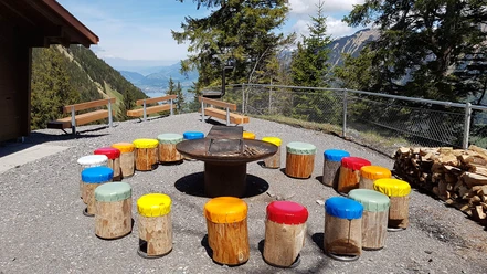
Stop at an Inn
Directions & Parking facilities
PostBus runs 3 times daily from mid-June to the end of October from Giswil train station. See www.postauto.ch
Literature
Author
Obwalden Tourismus
Organization
Obwalden Tourismus
Author´s Tip / Recommendation of the author
Be sure to try the best "Hindersimagronen" far and wide at the Alpbeizli & Käserei Fluonalp – a true culinary delight!
Nearby
Download GPX file