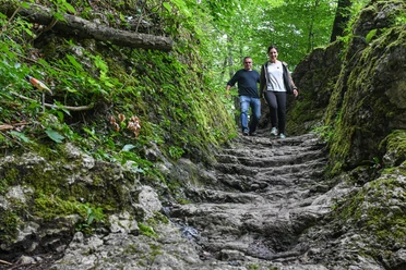
Butterfly Trail Lungern


Thanks to the traditional, ecological farming by the mountain farmers, a rich flora and fauna lines the mountain hiking trail leading downwards to the valley. In the mosaic of nationally significant dry meadows, over 100 species of diurnal butterflies have been confirmed to inhabit this area. The most striking ones are described on 17 information boards along the way. Most colorful butterflies can be seen from June to August.
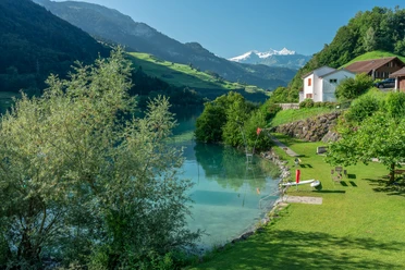
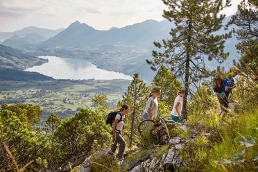
The mountain hike also offers a magnificent panorama, mainly at the viewing points Turren and Sädel, into the Bernese and Central Swiss Alps and onto the emerald-green Lungerersee. At Äschligrat, the view extends far into the Sarneraatal valley towards Lake Lucerne (Vierwaldstättersee). In Blattisdurren and Schäfschlüecht, you will encounter unique gneiss blocks, called Geissberger or Erratiker by locals, which were once deposited here by a tributary of the Aare Glacier.
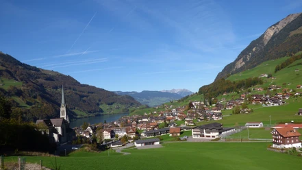
From Bürglen, you can reach the Kaiserstuhl station of the Zentralbahn in a few minutes or hike along the west shore of Lake Lungern back to the valley station of the Lungern-Turren cable car.
- 3:57 h
- 12.72 km
- 294 m
- 1,111 m
- 693 m
- 1,742 m
- 1,049 m
- Start: Mountain Station Turren
- Destination: Kaiserstuhl Lungern
Waypoints
Good to know
Best to visit
Author
Obwalden Tourismus
Organization
Obwalden Tourismus
Author´s Tip / Recommendation of the author
Nearby