Bella Vista - SwitzerlandMobility Route 921

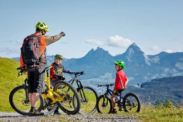
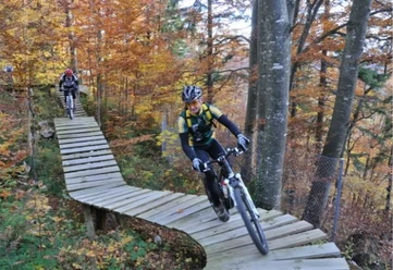
The route starts in the village of Emmetten and leads up the road to the turnoff of the toboggan run. After the leisurely ascent on a paved alpine road, a lively mix of gravel road and single trail follows. Always with the most beautiful view of Lake Lucerne, it goes through the forest and over small paths via Rotifluh over Eggeli to Hammen. Then full concentration is required: a challenging descent to Choltalstrasse follows. Once reached, the heavily shaken hands and blood-circulated wrists get their well-deserved break. From here, the path leads directly back to the starting point in the village of Emmetten.
In the Choltal, along the Choltalbach, there are several picnic areas and fire pits.
- 1:15 h
- 8.32 km
- 440 m
- 440 m
- 755 m
- 1,157 m
- 402 m
- Start: Emmetten
- Destination: Emmetten
Good to know
Pavements
Best to visit
Directions
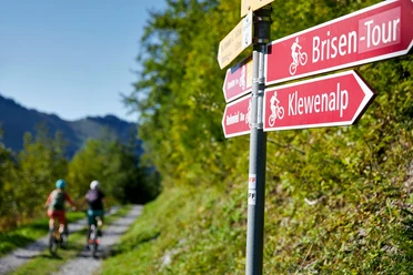
Emmetten - Toboggan run turnoff - Rotifluh - Eggeli - Hammen - Emmetten
Tour information
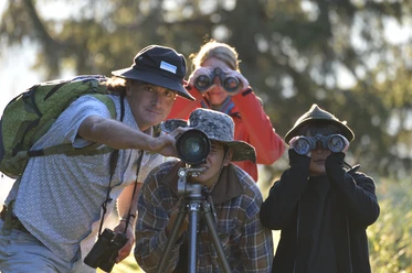
Familiy-Friendly
Loop Road
Nature Highlight
Equipment
Bike helmet and gloves recommended
Directions & Parking facilities
Take the Beckenried exit on the A2 and follow the signs to Emmetten, about 10 minutes drive.
Directly at the valley station Emmetten-Stockhütte there is a large paid parking lot.
Arrival by public transport: by PostBus from Stans to Emmetten, Post.
Additional information
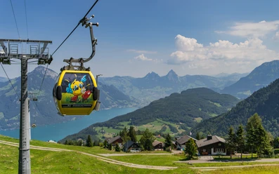
The route can also be done without an ascent. For this, use the gondola to Stockhütte and start the route with the descent to the old toboggan run turnoff.
Author
Bergbahnen Beckenried-Emmetten AG
Organization
Nidwalden Tourismus
Safety guidelines
If it has rained, the descent can be slippery.
Nearby


Download GPX file