Bonistock circular route

The route starts at the «old upper terminus» at Melchsee-Frutt. The path follows the road up to the Frutt Mountain Resort and then changes behind the building onto the hiking trail towards Bonistock. Along the way, you can discover a diverse alpine flora. The impressive karst landscape with its bizarre rock formations is also worth seeing. The ascent to Bonistock is rewarded with a fantastic panoramic view over Central Switzerland all the way to the German border and the imposing peaks of the Bernese Alps. From here, the route continues flat to the Chringen passage and then downhill towards Tannalp.
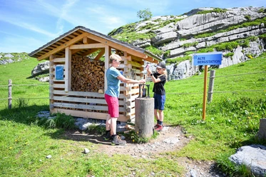
On the way back, the Fachshubel barbecue site by the Tannen lake invites you to take a break. Then the path follows the road back to the Tannen dam and from there continues on the hiking trail via the panorama lift back to the village.
- 2:50 h
- 9.62 km
- 289 m
- 396 m
- 1,894 m
- 2,182 m
- 288 m
- Start: Melchsee-Frutt: old upper terminus
- Destination: Melchsee-Frutt: old upper terminus
Good to know
Best to visit
Tour information
Loop Road
Directions & Parking facilities
Author
Obwalden Tourismus
Organization
Obwalden Tourismus
Author´s Tip / Recommendation of the author

Nearby


Download GPX file