Chapel trail


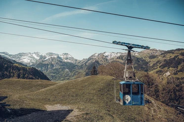
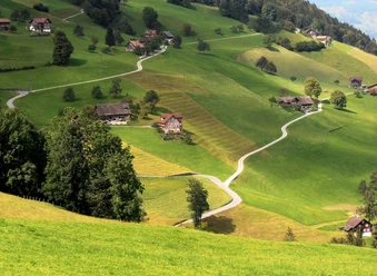
This themed route starts in Wolfenschiessen. In the village are the parish church "Maria Geburt" and the ossuary. Then follow Oberrickenbachstrasse to the Brändlen aerial cableway. From here, a hiking trail leads through the pine forest towards Oberrickenbach. After a short section on the main road, we reach the Stutzkapelle Burgholz, chapel of the sorrowful mother. This is a nice spot for a short rest. The path then continues towards Oberrickenbach. There stands the Holy Cross chapel, which was largely destroyed by an earthquake in 1601. This chapel was immediately rebuilt and consecrated in 1604. A beautiful hiking trail leads along the peat bog to the Eggeligrat viewpoint. A narrow trail leads to the Wellenberg, requiring surefootedness and a head for heights. At Wellenberg awaits a stunning view, overlooking Wolfenschiessen and Bürgenberg. After a descent of about 400 meters in altitude, you reach the Bettelrüti chapel, another place with a magnificent panoramic view. This chapel was built in 1700 in memory of Brother Konrad Scheuber. The route then continues to Altzellen to the St. Joder chapel and then back down into the Engelberg valley to the Grafenort chapel. From there, follow along the Aa water to the Sebastian chapel in the village. This chapel was built after a plague epidemic in 1620. The path then leads back to Wolfenschiessen.
- 6:00 h
- 17.87 km
- 901 m
- 901 m
- 510 m
- 1,242 m
- 732 m
- Start: Wolfenschiessen
- Destination: Wolfenschiessen
Good to know
Pavements
Best to visit
Directions
Wolfenschiessen – Wolfenschiessen
Tour information
Cultural Interesting
Loop Road
Directions & Parking facilities
Additional information
For tourist information: Nidwalden Tourism
Eight chapels:
- Parish church "Maria Geburt", Wolfenschiessen
- Ossuary, Wolfenschiessen
- Holy Cross chapel, Oberrickenbach
- Chapel of the sorrowful mother, Stutzkapelle Burgholz
- Bettelrüti chapel, Altzellen
- St. Joder chapel, Altzellen
- Grafenort chapel
- St. Sebastian chapel in the village
To the brochure Kapellenweg Engelbergertal
Author
Nidwalden Tourismus
Organization
Nidwalden Tourismus
Map
Signage
Follow the green logo on the yellow hiking signs (No. 564, SchweizMobil). To be safe, take a printed map with you on the hike.
Nearby


Download GPX file