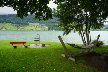
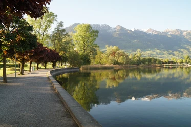
Circular hike around Lake Sarnen


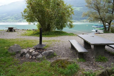
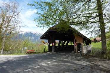
From Sarnen station, the path leads along the railway tracks to the hospital and further to Seefeld. In summer, a visit to the adventure pool is worthwhile. From here, the lakeside path begins and leads over Sachseln and Ewil to the former customs house in Sachseln. After a short section on the road parallel to Schwerzenbachstrasse, the route follows the dam path to Camping Giswil. Through the forest, the path leads to the feared wild streams. The Steinibach is crossed on the road by a ford, where the path on the other side follows the stream upwards to Mattacher.
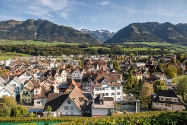
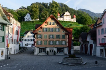
It continues uphill to cross the Gerisbach, followed by a descent to Holzmatt. Here it is worth looking back over Giswil and the impressive Wetterhorn group. Now the forest path leads with slight ups and downs above the Wilerbad and over Giglen to Kirchhofen. With a view of the baroque parish church, it goes down to the lake, along the Sarner Aa shore to the village square, and back to the station.
- 5:32 h
- 20.65 km
- 289 m
- 290 m
- 469 m
- 755 m
- 286 m
- Start: Sarnen station
- Destination: Sarnen station
Waypoints
Good to know
Best to visit
Tour information
Loop Road
Stop at an Inn
Directions & Parking facilities
On the A2 from Lucerne, change in the tunnel to the A8 direction Interlaken, Sarnen, then take the exit Sarnen Nord.
From Interlaken via Brünig on the A8 to the exit Sarnen Nord
Author
Obwalden Tourismus
Organization
Obwalden Tourismus
Author´s Tip / Recommendation of the author
The hike can also be done only from/to Giswil and the return journey can be comfortably made by the Zentralbahn or across the water with the motor ship Seestern.

Nearby


Download GPX file