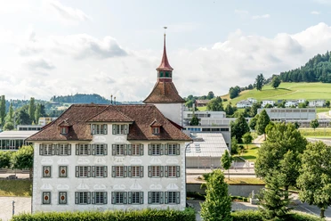
Circular hike around Willisau "Short Panorama Route"

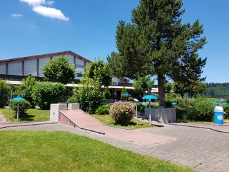
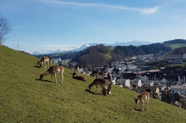
The path mostly follows marked hiking trails and starts at Willisau station. At Migros, you cross Ettiswilerstrasse and turn onto the footpath towards Hirschpark. At Hirschpark, there is a good opportunity to take a break; there is also a playground for children. Higher up at the “Gütsch-Kreuz” there is a beautiful panorama.
The path continues through the forest and then down to the Änziwigger stream and afterwards to the canalised Mühlibächli before going back up to the Schlossfeld sports facilities. It goes downhill again, this time crossing the “Buechwigger” stream. The path leads upward one last time to the Chapel St. Nikolaus on the hill. There you will find a beautiful view and an inviting rest area. From there it is 10 minutes back to the starting point of the hike.
- 1:40 h
- 5.90 km
- 173 m
- 174 m
- 553 m
- 649 m
- 96 m
- Start: Willisau station
- Destination: Willisau station
Waypoints


Good to know
Best to visit
Tour information
Familiy-Friendly
Loop Road
Tour with Dog
Directions & Parking facilities
Paid parking spaces at the station
By train to Willisau
Additional information
Information about Willisau
Author
Willisau Tourismus
Organization
Willisau Tourismus
Author´s Tip / Recommendation of the author
- Picnic at the Hirschpark or Chapel St. Niklaus
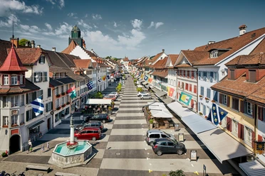
- Visit the old town of Willisau
- Willisauer Ringli
Nearby

Download GPX file