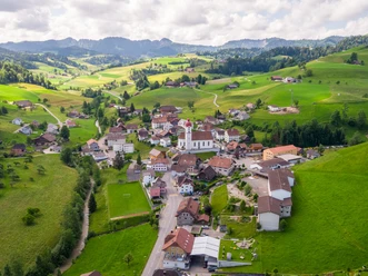
Fankhaus - Napf - Luthern

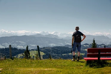
The path is well signposted from Fankhaus. Initially gentle, then steep, the path leads towards Napf. The effort is rewarded, as the beautiful view and the peace in nature on initially little-used paths reward us along the way.
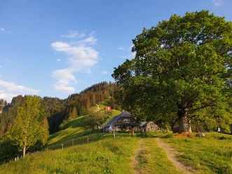
At Grüebli 1277m, the path branches either right towards Napf (25 minutes) and then via Trachselegg to Luthern Bad (approx. 1 hour 20 minutes) or (our choice) left to Alp Niederänzi and further to Luthern Bad (1 hour).
- 3:50 h
- 10.07 km
- 489 m
- 571 m
- 873 m
- 1,405 m
- 532 m
- Start: Fankhaus (Schoolhouse)
- Destination: Luthern Bad (Dreilindenplatz)
Good to know
Pavements
- Asphalt (8%)Trail (81%)Path (11%)
Best to visit
- suitableDepends on weather
Directions
Fankhaus - Höchstalden - Höhstullen - Grüebli from there branching to Napf (or directly towards Niederänzi) - Oberbadegg - Luthern Bad
Tour information
Mountain summit
Refreshment stop
Tour with dog
Directions & Parking facilities
- Getting there
By train to Trubschachen, then by bus to Fankhaus
Author
Willisau Tourismus
Organization
Willisau Tourismus
Author´s Tip / Recommendation of the author
The detour to the summit of Napf is worth it!