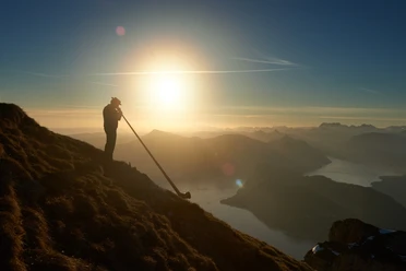
Fräkmüntegg - Alp Gschwänd - Hergiswil

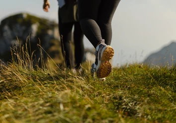
From the mountain station of the Kriens–Pilatus panoramic gondola lift, follow the mountain trail (Route 7b / E) through the forest and across alpine meadows down to Gschwänd (1,216 m). The trail then continues downhill to the Brunni restaurant (825 m), where you can enjoy a beautiful view over Lake Lucerne and across to Rigi and Bürgenstock. You then descend via Schattenberg, pass Vorder Rengg (795 m) and have the opportunity to refresh yourself at the Schönegg restaurant. After a short section on the mountain road, the route continues past Stalden (591 m) to the village of Hergiswil. A short stretch along Renggstrasse leads to the pedestrian crossing over the motorway. From there, you reach Schützenweg, turn right at the end into Obkirche and reach Hergiswil railway station on the Zentralbahn via the underpass.
- 2:10 h
- 6.88 km
- 5 m
- 968 m
- 444 m
- 1,411 m
- 967 m
- Start: Fräkmüntegg
- Destination: Hergiswil
Waypoints
Good to know
Best to visit
Tour information
Stop at an Inn
Equipment
Directions & Parking facilities
Take the Kriens panoramic gondola lift to Fräkmüntegg.
Author
Luzern Tourismus
Organization
Lucerne Tourisme

Nearby