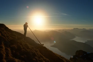
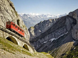
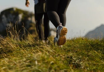
Fräkmüntegg - Schwändelberg - Horw

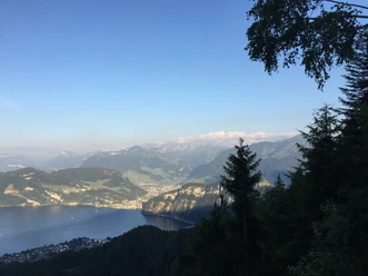
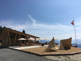
From Fräkmüntegg station, follow route 2b / A downhill via Trämelegg to Roteflue, where a rest area offers views of Stanserhorn and Titlis. A short detour leads to Schönenboden Hut (1,119 m), open on weekends and run by the Alpenfreunde Pilatus. About 100 metres lower lies Buholzerschwändi (1,018 m), a picnic spot with the Horw Ski Club hut, known as Buzi, open on Sundays from May to the end of August and offering views of Mount Rigi and the Pre Alps. After several bends through the forest, the trail reaches the 1977 Schwändelberg restaurant (721 m), a popular viewpoint. The path then continues across meadows and down forest switchbacks. Passing the Grisige clay pit, which supplies the Horw Gettnau brickworks, the route descends via Grisigenstrasse, past the A2 motorway and Sternenried, to Horw railway station.
- 2:10 h
- 7.06 km
- 10 m
- 970 m
- 441 m
- 1,411 m
- 970 m
- Start: Fräkmüntegg
- Destination: Horw
Waypoints
Good to know
Best to visit
Tour information
Stop at an Inn
Equipment
Directions & Parking facilities
Author
Luzern Tourismus
Organization
Lucerne Tourisme

Nearby