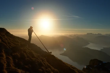
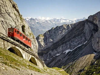
Fräkmüntegg - Renggpass - Stansstad

From Fräkmüntegg the mountain trail (route 7b / E) leads to Alp Fräkmünt before descending through forest and meadows to Gschwänd (1,216 m). After about 500 metres, the path branches right via Büchsen (965 m) and Hinter Rengg (790 m) to Rengg Chapel. Built in 1784, it is dedicated to Our Lady of Sorrows. The nearby Rengg Pass (891 m) was once an important crossing from Lucerne to Alpnachstad (route 11b / N) and long the only land route over the Lopper to Obwalden and the Brünig. The Waldstätterweg continues over the pass towards Stansstad. The trail first follows the Lopper ridge eastwards, then descends above the Schofeld pastures into the Lopper forest. Along the southern flank, it circles Haslihorn (934 m) and drops in three steeper sections to Lopper Chapel. At Acheregg (436 m) you reach the lakeshore and road, and after passing under the motorway cross Acheregg bridge to Stansstad railway station.
- 3:20 h
- 9.75 km
- 137 m
- 1,112 m
- 434 m
- 1,410 m
- 976 m
- Start: Fräkmüntegg
- Destination: Stansstad
Waypoints
Good to know
Best to visit
Equipment
Directions & Parking facilities
Author
Luzern Tourismus
Organization
Lucerne Tourisme

Nearby