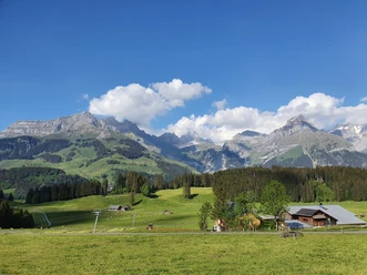
Fürenalp-Trail

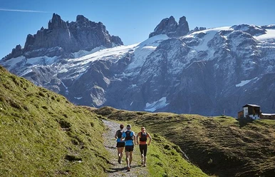
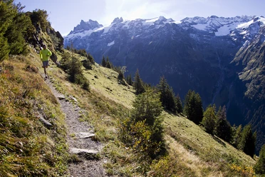
The Fürenalp-Trail leads along the Stierenbach stream to the Stäuber waterfall. Continue past various small alpine huts up to Fürenalp. A breathtaking view of the surrounding mountains awaits you. The trail ends at the mountain station of the Fürenalp cable car, with which you can also have your luggage transported up on request.
- 2:02 h
- 9.78 km
- 772 m
- 14 m
- 1,080 m
- 1,852 m
- 772 m
- Start: Fürenalp valley station
- Destination: Fürenalp mountain station
Good to know
Best to visit
Directions & Parking facilities
Additional information
Open Trails: https://www.engelberg.ch/en/open-trails/summer/
Gastronomy: https://www.engelberg.ch/en/dining/gastronomy/
Accommodations: https://www.engelberg.ch/en/accommodation-online-bookable/#/accommodations
Author
Engelberg - Titlis Tourismus
Organization
Engelberg-Titlis Tourismus
Safety guidelines
When planning, take note of the summer sports report on https://www.engelberg.ch/en/open-trails/summer/ where it is indicated whether the hiking trails are open.
Nearby